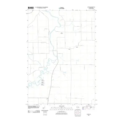
2010 Map of Lunds
USGS Topo · Published 2010About this map
The Wolf River meanders sharply through this rural landscape in Shawano County, defining the local geography as it flows past the settlement of Lunds. The river's influence on the terrain is evident in the series of water control structures near the marshlands, including Navarino Marsh 1, Navarino Marsh 2, and Navarino Marsh 3. These features suggest a managed wetland environment critical to the local ecology.
Find a feature on this map
36 named features on this map. Tap any name to fly to it.
Don’t see what you’re looking for? This feature index may not catch every label — zoom into the map to look around manually.
Map Details
Editions of this 2010 Lunds Map
This is the sole edition of this map. No revisions or reprints were ever made.
Other maps of this area

1954 · Shawano
USGS Topo · 1:48,000

1955 · Embarrass
USGS Topo · 1:48,000

1955 · Seymour
USGS Topo · 1:62,500

1955 · Green Bay
USGS Topo · 1:250,000

1956 · Gillett
USGS Topo · 1:62,500

1964 · Shawano
USGS Topo · 1:62,500

1969 · Leeman
USGS Topo · 1:24,000

1969 · Embarrass
USGS Topo · 1:24,000

1969 · Lunds
USGS Topo · 1:24,000

1969 · Bear Creek
USGS Topo · 1:24,000