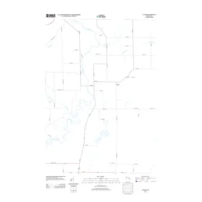
2013 Map of Lunds
USGS Topo · Published 2013About this map
The winding Wolf River defines the central corridor of this Wisconsin landscape, serving as a primary hydrological feature for the region near the settlement of Lunds. The river's serpentine path is joined by several smaller tributaries, including Schoenick Cr and School Section Cr, which drain the surrounding agricultural and wooded areas. The road network is established on a traditional grid, punctuated by routes such as Wi-187 and Wi-156, facilitating travel between local farmsteads and rural residences. In the western portion of the map, Schoenick Lake provides a localized water body within the drainages of the Schoenick Creek system. The map documents a predominantly rural environment where named thoroughfares like Church Rd and Swamp Rd hint at the local topography and historical community landmarks found in this part of Shawano County.
Find a feature on this map
42 named features on this map. Tap any name to fly to it.
Don’t see what you’re looking for? This feature index may not catch every label — zoom into the map to look around manually.
Map Details
Editions of this 2013 Lunds Map
This is the sole edition of this map. No revisions or reprints were ever made.
Other maps of this area

1954 · Shawano
USGS Topo · 1:48,000

1955 · Embarrass
USGS Topo · 1:48,000

1955 · Seymour
USGS Topo · 1:62,500

1955 · Green Bay
USGS Topo · 1:250,000

1956 · Gillett
USGS Topo · 1:62,500

1964 · Shawano
USGS Topo · 1:62,500

1969 · Leeman
USGS Topo · 1:24,000

1969 · Embarrass
USGS Topo · 1:24,000

1969 · Lunds
USGS Topo · 1:24,000

1969 · Bear Creek
USGS Topo · 1:24,000