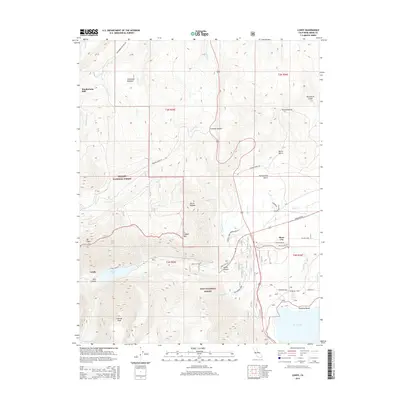
2015 Map of Lundy
USGS Topo · Published 2015About this map
Lundy Canyon and the high elevations of the Sierra Nevada dominate this 2015 survey, where the transition from alpine peaks to the Mono Basin is sharply defined. The settlement of Lundy sits near the waters of Lundy Lake, serving as a gateway to the steep Lake Canyon and Gilcrest Peak. Historic industry and infrastructure are evident at the Dunderberg Mill and along the winding grades leading to Conway Summit. To the east, the landscape opens toward Mono City and the shores of Moon Lake, including the recreation and residential area at Danburg Beach. This map is a record of a region defined by high-altitude mining history and modern conservation, split between the Toiyabe National Forest and Inyo National Forest. Local landmarks like Mono Vista Spring and the Sinnamon Cut provide specific points of interest for those studying the specialized geography of Mono County.
Find a feature on this map
48 named features on this map. Tap any name to fly to it.
Don’t see what you’re looking for? This feature index may not catch every label — zoom into the map to look around manually.
Map Details
Editions of this 2015 Lundy Map
This is the sole edition of this map. No revisions or reprints were ever made.
Other maps of this area
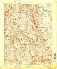
1901 · Mt. Lyell
USGS Topo · 1:125,000
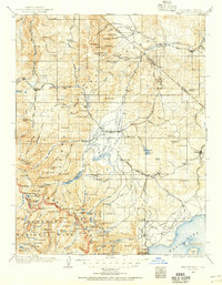
1909 · Bridgeport
USGS Topo · 1:125,000
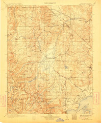
1911 · Bridgeport
USGS Topo · 1:125,000
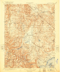
1920 · Bridgeport
USGS Topo · 1:125,000
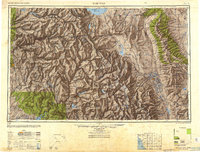
1947 · Mariposa
USGS Topo · 1:250,000
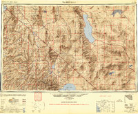
1948 · Walker Lake
USGS Topo · 1:250,000
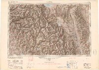
1948 · Mariposa
USGS Topo · 1:250,000
1953 · Mono Craters
USGS Topo · 1:62,500
1956 · Matterhorn Peak
USGS Topo · 1:62,500
1956 · Tuolumne Meadows
USGS Topo · 1:62,500