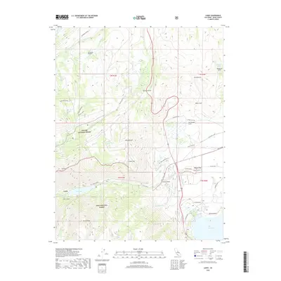
2018 Map of Lundy
USGS Topo · Published 2018About this map
Mono City and the settlement of Lundy sit at the dramatic edge of the Sierra Nevada, where steep alpine ridges meet the western shore of Mono Lake. This 2018 survey documents a landscape defined by sharp elevation shifts, from the high peaks of Copper Mtn and Mt Olsen down to the shores of Danburg Beach. The map details the historical passage through Conway Summit and the water-rich canyons where Mill Cr and Wilson Creek descend toward the basin. High-country landmarks such as Sinnamon Meadow, Dunderberg Meadow, and Crystal Lake are noted alongside the boundaries of the Toiyabe National Forest and Inyo National Forest. Local infrastructure like the Mill Creek Powerhouse Rd and the proximity of Lundy Lake illustrate the area's long-standing connection between mountain resources and the growing communities below.
Find a feature on this map
52 named features on this map. Tap any name to fly to it.
Don’t see what you’re looking for? This feature index may not catch every label — zoom into the map to look around manually.
Map Details
Editions of this 2018 Lundy Map
This is the sole edition of this map. No revisions or reprints were ever made.
Other maps of this area
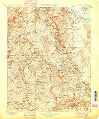
1901 · Mt. Lyell
USGS Topo · 1:125,000
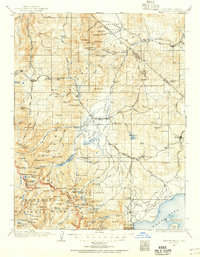
1909 · Bridgeport
USGS Topo · 1:125,000
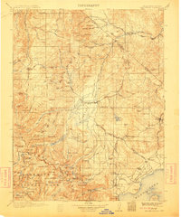
1911 · Bridgeport
USGS Topo · 1:125,000
1920 · Bridgeport
USGS Topo · 1:125,000
1947 · Mariposa
USGS Topo · 1:250,000
1948 · Walker Lake
USGS Topo · 1:250,000
1948 · Mariposa
USGS Topo · 1:250,000
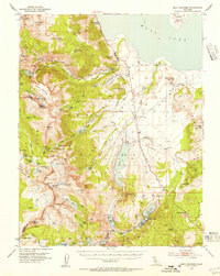
1953 · Mono Craters
USGS Topo · 1:62,500
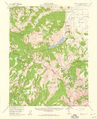
1956 · Matterhorn Peak
USGS Topo · 1:62,500
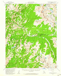
1956 · Tuolumne Meadows
USGS Topo · 1:62,500