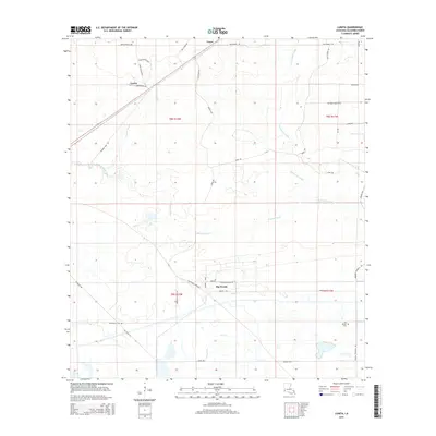
2015 Map of Lunita
USGS Topo · Published 2015About this map
Houston River and its intricate drainage network, including Persimmon Gully and Bear Head Creek, define the wet piney woods of Calcasieu Parish in this mid-2010s survey. The landscape is marked by a mix of historic rural settlements and a dense web of local roads named for families and landmarks, such as Jerry's Loop, Old Cutoff Rd, and Bud Bennet Rd. The settlement of Big Woods stands out as a primary node of activity in the southern portion of the map, while Lunita and Lucas anchor the northern reaches near the river. For those researching local genealogy or community history, the map precisely locates the Benevolent Cem and the Big Woods Cem, providing essential points of reference for the families who have long inhabited these timberlands.
Find a feature on this map
39 named features on this map. Tap any name to fly to it.
Don’t see what you’re looking for? This feature index may not catch every label — zoom into the map to look around manually.
Map Details
Editions of this 2015 Lunita Map
This is the sole edition of this map. No revisions or reprints were ever made.
Other maps of this area

1932 · Orange
USGS Topo · 1:62,500

1947 · Sulphur
USGS Topo · 1:31,680

1947 · Starks
USGS Topo · 1:31,680

1947 · Vinton
USGS Topo · 1:31,680

1947 · Toomey
USGS Topo · 1:31,680

1947 · Carter Creek
USGS Topo · 1:31,680

1947 · DeQuincy
USGS Topo · 1:31,680

1947 · Sulphur Mines
USGS Topo · 1:31,680

1947 · Lunita
USGS Topo · 1:31,680

1947 · Long Marsh
USGS Topo · 1:31,680