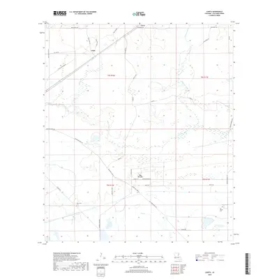
2018 Map of Lunita
USGS Topo · Published 2018About this map
Big Woods and the surrounding Calcasieu Parish landscape are defined by a complex network of waterways and winding rural roads in this contemporary topographical view. The Houston River and its various tributaries, including Persimmon Gully and Bear Head Creek, carve through the terrain, illustrating the low-lying, wetlands-heavy environment characteristic of southwest Louisiana. The small settlements of Lunita and Lucas sit along the northern reaches of the sheet, connected by a web of local thoroughfares like Polk Smith Loop and Old Cutoff Rd.
Find a feature on this map
40 named features on this map. Tap any name to fly to it.
Don’t see what you’re looking for? This feature index may not catch every label — zoom into the map to look around manually.
Map Details
Editions of this 2018 Lunita Map
This is the sole edition of this map. No revisions or reprints were ever made.
Other maps of this area

1932 · Orange
USGS Topo · 1:62,500

1947 · Sulphur
USGS Topo · 1:31,680

1947 · Starks
USGS Topo · 1:31,680

1947 · Vinton
USGS Topo · 1:31,680

1947 · Toomey
USGS Topo · 1:31,680

1947 · Carter Creek
USGS Topo · 1:31,680

1947 · DeQuincy
USGS Topo · 1:31,680

1947 · Sulphur Mines
USGS Topo · 1:31,680

1947 · Lunita
USGS Topo · 1:31,680

1947 · Long Marsh
USGS Topo · 1:31,680