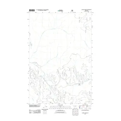
2011 Map of Lupine Creek
USGS Topo · Published 2011About this map
Grovedale and the wide drainage of Howard Creek Meadows define this high-country landscape in the Lolo National Forest area. The terrain is structured by a complex network of mountain streams, including Lupine Creek, Burdette Creek, and the South Fork Fish Creek. Unlike the lower valleys, this area's development is concentrated along primitive forest access routes like Wagon Mountain Rd and Howard Creek Rd. The drainage patterns, such as Sullivan Creek and Tepee Creek, illustrate the steep, dissected topography of the region, providing a detailed look at the watershed before it reaches more populated Montana corridors. This 2011 edition documents the precise road network and landforms used by modern hunters, hikers, and local land managers.
Find a feature on this map
16 named features on this map. Tap any name to fly to it.
Don’t see what you’re looking for? This feature index may not catch every label — zoom into the map to look around manually.
Map Details
Editions of this 2011 Lupine Creek Map
This is the sole edition of this map. No revisions or reprints were ever made.
Other maps of this area

1911 · Lolo
USGS Topo · 1:250,000

1912 · Missoula
USGS Topo · 1:125,000

1913 · Lolo
USGS Topo · 1:250,000

1956 · Hamilton
USGS Topo · 1:250,000

1959 · Hamilton
USGS Topo · 1:250,000

1960 · Hamilton
USGS Topo · 1:250,000

1964 · Hamilton
USGS Topo · 1:250,000

1964 · Lolo Hot Springs
USGS Topo · 1:24,000

1964 · Garden Point
USGS Topo · 1:24,000

1964 · West Fork Butte
USGS Topo · 1:24,000