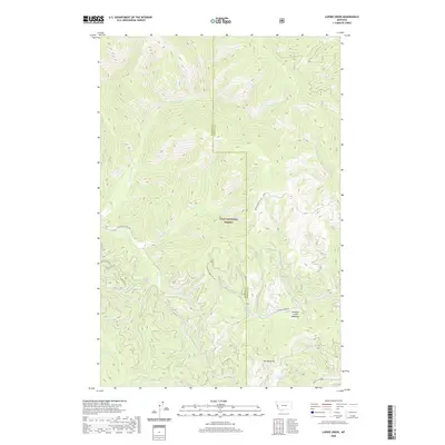
2020 Map of Lupine Creek
USGS Topo · Published 2020About this map
Lolo National Forest dominates this landscape along the border of Mineral and Missoula counties, where high ridges and deeply incised drainages form a complex hydrological network. The map reveals a wild, road-limited environment centered on the headwaters of Lupine Creek and Burdette Creek. Narrow corridors like S Fork Fish Creek Rd and Wagon Mountain Rd provide the primary access through these steep timberlands.
Find a feature on this map
23 named features on this map. Tap any name to fly to it.
Don’t see what you’re looking for? This feature index may not catch every label — zoom into the map to look around manually.
Map Details
Editions of this 2020 Lupine Creek Map
This is the sole edition of this map. No revisions or reprints were ever made.
Other maps of this area

1911 · Lolo
USGS Topo · 1:250,000

1912 · Missoula
USGS Topo · 1:125,000

1913 · Lolo
USGS Topo · 1:250,000

1956 · Hamilton
USGS Topo · 1:250,000

1959 · Hamilton
USGS Topo · 1:250,000

1960 · Hamilton
USGS Topo · 1:250,000

1964 · Hamilton
USGS Topo · 1:250,000

1964 · Lolo Hot Springs
USGS Topo · 1:24,000

1964 · Garden Point
USGS Topo · 1:24,000

1964 · West Fork Butte
USGS Topo · 1:24,000