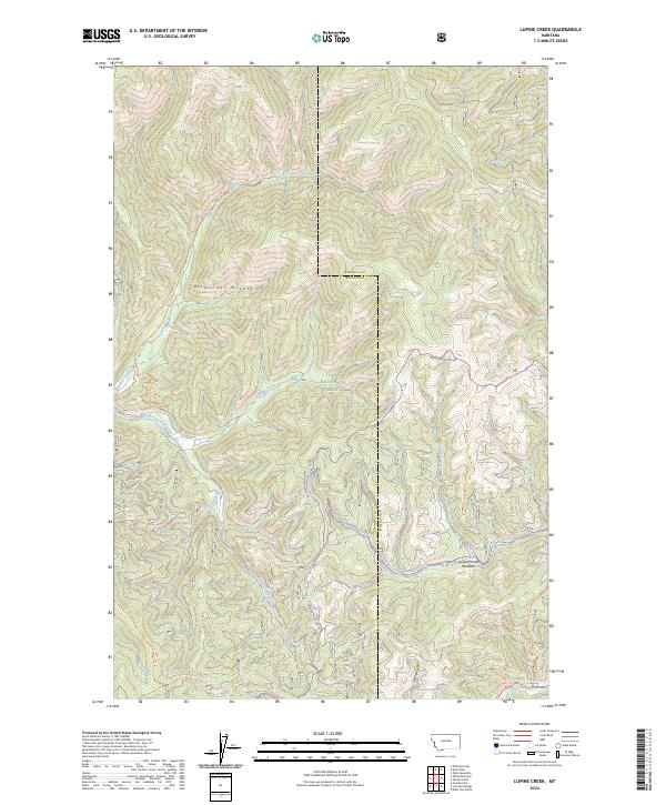
2024 Map of Lupine Creek
USGS Topo · Published 2024About this map
The Bitterroot Mountains define this section of the Lolo National Forest along the border of Mineral and Missoula counties. This high-country terrain is shaped by a dense network of drainage systems, including Lupine Creek, Burdette Creek, and the South Fork Fish Creek. The area is characterized by an extensive system of forest roads and pack trails, such as the White Mountain Trl and the historic Lolo Trl, which navigate the steep ridgelines like Oriole Ridge. While largely devoid of permanent settlements, the map documents specific water sources like the 14N23W07ABDB01 Spring and open upland spaces like Howard Creek Meadows. The presence of numerous township and range lines, alongside several private land boundary markers (PB 44 through PB 50), illustrates the complex land management and surveying history within these federal forest lands during the early twenty-first century.
Find a feature on this map
38 named features on this map. Tap any name to fly to it.
Don’t see what you’re looking for? This feature index may not catch every label — zoom into the map to look around manually.
Map Details
Editions of this 2024 Lupine Creek Map
This is the sole edition of this map. No revisions or reprints were ever made.
Other maps of this area

1911 · Lolo
USGS Topo · 1:250,000

1912 · Missoula
USGS Topo · 1:125,000

1913 · Lolo
USGS Topo · 1:250,000

1956 · Hamilton
USGS Topo · 1:250,000

1959 · Hamilton
USGS Topo · 1:250,000

1960 · Hamilton
USGS Topo · 1:250,000

1964 · Hamilton
USGS Topo · 1:250,000

1964 · Lolo Hot Springs
USGS Topo · 1:24,000

1964 · Garden Point
USGS Topo · 1:24,000

1964 · West Fork Butte
USGS Topo · 1:24,000