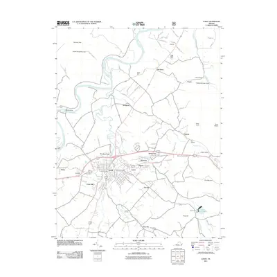
2011 Map of Luray
USGS Topo · Published 2011About this map
Luray serves as the focal point of this Page County survey, situated along the banks of Hawksbill Creek. The town's local character is detailed through several residential and civic landmarks, including the Luray Post Office, the iconic Singing Tower, and the established grounds of Green Hill Cemetery and Evergreen Cemetery. To the west, the South Fork Shenandoah River winds past the Luray Dam and Bixler Bridge, while to the east, the landscape transitions into the steep elevations of Kennedy Peak and Fodder House Mountain.
Find a feature on this map
47 named features on this map. Tap any name to fly to it.
Don’t see what you’re looking for? This feature index may not catch every label — zoom into the map to look around manually.
Map Details
Editions of this 2011 Luray Map
This is the sole edition of this map. No revisions or reprints were ever made.
Other maps of this area

1892 · Woodstock
USGS Topo · 1:125,000

1893 · Luray
USGS Topo · 1:125,000

1905 · Luray
USGS Topo · 1:125,000

1923 · Edinburg
USGS Topo · 1:62,500

1929 · Stony Man
USGS Topo · 1:48,000

1933 · Stony Man
USGS Topo · 1:62,500

1942 · Mt Jackson
USGS Topo · 1:62,500

1946 · Mt Jackson
USGS Topo · 1:62,500

1947 · Mt Jackson
USGS Topo · 1:62,500

1947 · Strasburg
USGS Topo · 1:62,500