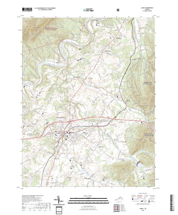
1994 Map of Luray
USGS Topo · Published 1997About this map
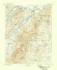
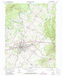
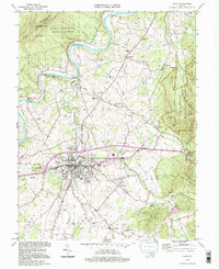
The town of Luray serves as a central hub in this valley landscape, bordered by the steep ridges of Massanutten Mountain to the west and the heights of Shenandoah National Park to the east. Transportation and local industry are defined by the Norfolk and Western railroad corridor and the winding course of the South Fork Shenandoah River. Key landmarks like the Luray Caverns and Luray Caverns Airport highlight the area's significance as a destination for geological tourism, while the Singing Tower and Memorial Hospital mark the town's civic development.
Find a feature on this map
59 named features on this map. Tap any name to fly to it.
Don’t see what you’re looking for? This feature index may not catch every label — zoom into the map to look around manually.
Map Details
Editions of this 1994 Luray Map
This is the sole edition of this map. No revisions or reprints were ever made.
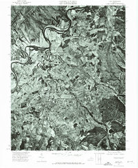
Historical Maps of Luray Through Time
6 maps found