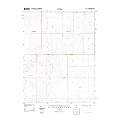
2013 Map of Lusto Springs
USGS Topo · Published 2013About this map
Lusto Springs serves as a central landmark in this high plains landscape straddling the Washington and Lincoln county line. The terrain is defined by the ephemeral drainages of the N Fork Arikaree River to the south and Gordon Cr to the east, while the prominent Flat Top mesa provides a distinct navigational point in the western portion of the quadrangle. This area is characterized by a precise grid of rural routes, including CO Road D and CO Road 1, which facilitate travel through the vast grazing lands and agricultural plots. The map records the path of Co-71 as it cuts diagonally across the township lines, intersecting with local thoroughfares such as CO Road F and CO Road 2 near the headwaters of Vega Creek.
Find a feature on this map
29 named features on this map. Tap any name to fly to it.
Don’t see what you’re looking for? This feature index may not catch every label — zoom into the map to look around manually.
Map Details
Editions of this 2013 Lusto Springs Map
This is the sole edition of this map. No revisions or reprints were ever made.
Other maps of this area

1891 · Limon
USGS Topo · 1:125,000

1892 · Limon
USGS Topo · 1:125,000

1954 · Limon
USGS Topo · 1:250,000

1957 · Limon
USGS Topo · 1:250,000

1958 · Limon
USGS Topo · 1:250,000

1970 · T Draw
USGS Topo · 1:24,000

1973 · Last Chance SW
USGS Topo · 1:24,000

1973 · Last Chance NW
USGS Topo · 1:24,000

1973 · Lusto Springs
USGS Topo · 1:24,000

1973 · Lindon SW
USGS Topo · 1:24,000