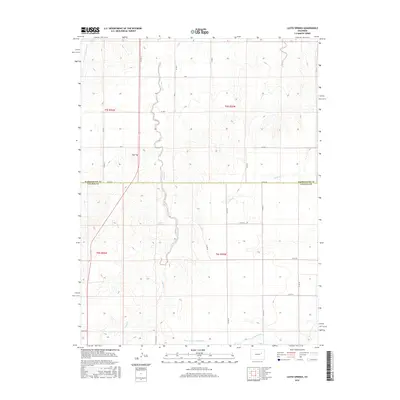
2016 Map of Lusto Springs
USGS Topo · Published 2016About this map
Lusto Springs serves as a central geographic anchor in this remote stretch of the High Plains, where the border of Washington and Lincoln counties meets. The landscape is defined by the winding course of Vega Creek, which traverses the terrain from north to south before reaching the North Fork Arikaree River at the southern edge of the sheet. This area reflects a classic grid of section lines and county roads, such as Co RD G and Co RD 4d, which facilitate movement through the open range.
Find a feature on this map
31 named features on this map. Tap any name to fly to it.
Don’t see what you’re looking for? This feature index may not catch every label — zoom into the map to look around manually.
Map Details
Editions of this 2016 Lusto Springs Map
This is the sole edition of this map. No revisions or reprints were ever made.
Other maps of this area

1891 · Limon
USGS Topo · 1:125,000

1892 · Limon
USGS Topo · 1:125,000

1954 · Limon
USGS Topo · 1:250,000

1957 · Limon
USGS Topo · 1:250,000

1958 · Limon
USGS Topo · 1:250,000

1970 · T Draw
USGS Topo · 1:24,000

1973 · Last Chance SW
USGS Topo · 1:24,000

1973 · Last Chance NW
USGS Topo · 1:24,000

1973 · Lusto Springs
USGS Topo · 1:24,000

1973 · Lindon SW
USGS Topo · 1:24,000