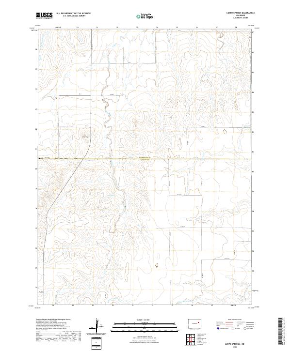
2022 Map of Lusto Springs
USGS Topo · Published 2022About this map
Lusto Springs serves as a focal point in this high-plains landscape where the border of Washington and Lincoln counties meets. The terrain is defined by the headwaters and drainage patterns of the N Fork Arikaree River, which cuts across the southern portion of the quadrangle. Northward, the topography transitions toward prominent landmarks such as Flat Top and the meandering paths of Vega Creek and Gordon Cr. This modern survey reveals a sparsely populated ranching or agricultural region organized by a rigid grid of rural routes, including Co RD 4d and Co RD G. The map detail allows for a precise study of the intersection between natural water sources and the surveyed land system that dictates human movement across these eastern Colorado plains.
Find a feature on this map
35 named features on this map. Tap any name to fly to it.
Don’t see what you’re looking for? This feature index may not catch every label — zoom into the map to look around manually.
Map Details
Editions of this 2022 Lusto Springs Map
This is the sole edition of this map. No revisions or reprints were ever made.
Other maps of this area

1891 · Limon
USGS Topo · 1:125,000

1892 · Limon
USGS Topo · 1:125,000

1954 · Limon
USGS Topo · 1:250,000

1957 · Limon
USGS Topo · 1:250,000

1958 · Limon
USGS Topo · 1:250,000

1970 · T Draw
USGS Topo · 1:24,000

1973 · Last Chance SW
USGS Topo · 1:24,000

1973 · Last Chance NW
USGS Topo · 1:24,000

1973 · Lusto Springs
USGS Topo · 1:24,000

1973 · Lindon SW
USGS Topo · 1:24,000