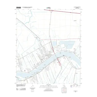
2012 Map of Lutcher
USGS Topo · Published 2012About this map
Mississippi River commerce and industrial development define this corridor in St. James Parish, where the settlements of Lutcher and Gramercy anchor the north bank. The landscape is a complex mix of historic plantation lands and modern infrastructure, including the Gramercy Wastewater Treatment Facility and the Hester Gas Field. Cross-river connectivity is maintained by the Lutcher-Cresent Ferry, linking the northern towns to the south bank communities of Oubre and Vacherie.
Find a feature on this map
151 named features on this map. Tap any name to fly to it.
Don’t see what you’re looking for? This feature index may not catch every label — zoom into the map to look around manually.
Map Details
Editions of this 2012 Lutcher Map
This is the sole edition of this map. No revisions or reprints were ever made.
Other maps of this area

1892 · Lac Des Allemands
USGS Topo · 1:62,500

1892 · Mount Airy
USGS Topo · 1:62,500

1892 · Donaldsonville
USGS Topo · 1:62,500

1892 · Thibodaux
USGS Topo · 1:62,500

1932 · Lac Des Allemands NW
USGS Topo · 1:31,680

1932 · Thibodaux NE
USGS Topo · 1:31,680

1932 · Lac Des Allemands NE
USGS Topo · 1:31,680

1939 · Donaldsonville
USGS Topo · 1:62,500

1940 · Lagan
USGS Topo · 1:31,680
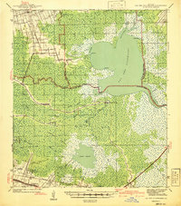
1941 · Lac Des Allemands
USGS Topo · 1:62,500