2024 Map of Lutcher
USGS Topo · Published 2024About this map
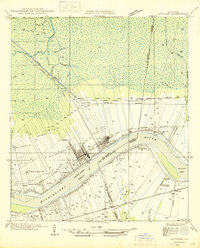
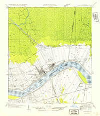
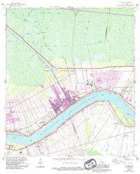
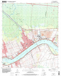
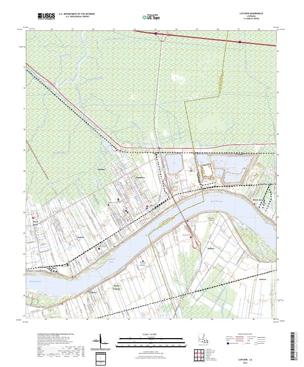
The Mississippi River carves a sweeping arc through this river parish landscape, anchoring a string of established communities including Lutcher, Gramercy, and Paulina. The settlement pattern follows the traditional long-lot system of French Louisiana, where development is concentrated along the river levees and major corridors like La 3125. To the north, the land transitions into the dense cypress swamps of the Blind River and Tchackhou Bayou basins, crisscrossed by drainage networks like the Tennessee-Williams Canal and Colonial Canal.
Find a feature on this map
135 named features on this map. Tap any name to fly to it.
Don’t see what you’re looking for? This feature index may not catch every label — zoom into the map to look around manually.
Map Details
Editions of this 2024 Lutcher Map
This is the sole edition of this map. No revisions or reprints were ever made.
Historical Maps of Angelina Through Time
5 maps found