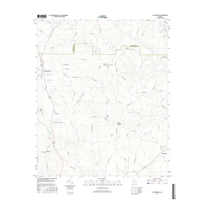
2017 Map of Luthersville
USGS Topo · Published 2017About this map
Luthersville serves as the primary hub of this 2017 survey, situated near the western edge of the Georgia Piedmont. The landscape is defined by the headwaters of numerous creeks, including Red Oak Cr and Panther Cr, which carve through the terrain as it transitions across the Coweta and Meriwether County line. The distribution of family and community burial grounds, such as Hannah Cem and Strickland Town Cem, points to the deep-rooted agricultural settlement patterns of the region.
Find a feature on this map
90 named features on this map. Tap any name to fly to it.
Don’t see what you’re looking for? This feature index may not catch every label — zoom into the map to look around manually.
Map Details
Editions of this 2017 Luthersville Map
This is the sole edition of this map. No revisions or reprints were ever made.
Other maps of this area

1953 · Atlanta
USGS Topo · 1:250,000

1957 · Atlanta
USGS Topo · 1:250,000

1958 · Atlanta
USGS Topo · 1:250,000

1964 · Grantville
USGS Topo · 1:24,000
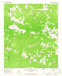
1964 · Odessadale
USGS Topo · 1:24,000

1965 · Newnan South
USGS Topo · 1:24,000

1965 · Senoia
USGS Topo · 1:24,000

1965 · Sharpsburg
USGS Topo · 1:24,000
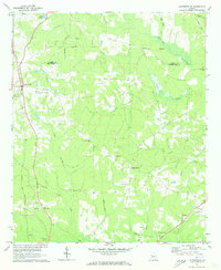
1971 · Luthersville
USGS Topo · 1:24,000
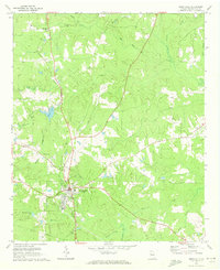
1971 · Greenville
USGS Topo · 1:24,000