
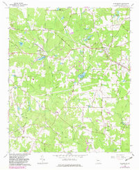
1965 Map of Sharpsburg
USGS Topo · Published 1967About this map
Sharpsburg and Turin serve as the primary hubs in this mid-1960s survey of eastern Coweta County, where the Central of Georgia railroad tracks bridge several rural communities. The landscape is defined by the drainage systems of White Oak Creek and its many tributaries, feeding into numerous family-named impoundments like Beavers Lake, Reese Lake, and Steward Lakes. These water sources supported a historical milling economy, evidenced by the location of Elders Mill near Elders Millpond in the southeastern quadrant.
Find a feature on this map
79 named features on this map. Tap any name to fly to it.
Don’t see what you’re looking for? This feature index may not catch every label — zoom into the map to look around manually.
Map Details
Editions of this 1965 Sharpsburg Map
2 editions found
Other maps of this area

1953 · Atlanta
USGS Topo · 1:250,000

1957 · Atlanta
USGS Topo · 1:250,000

1958 · Atlanta
USGS Topo · 1:250,000

1964 · Grantville
USGS Topo · 1:24,000

1965 · Newnan South
USGS Topo · 1:24,000
1965 · Newnan North
USGS Topo · 1:24,000

1965 · Tyrone
USGS Topo · 1:24,000

1965 · Madras
USGS Topo · 1:24,000

1965 · Senoia
USGS Topo · 1:24,000
1971 · Luthersville
USGS Topo · 1:24,000