
1965 Map of Madras
USGS Topo · Published 1967About this map
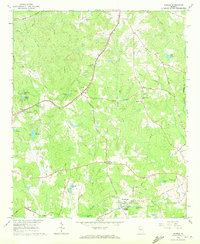
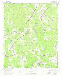
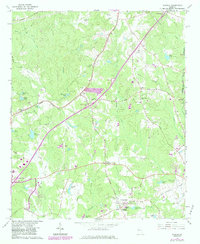
The Atlanta and West Point railroad corridor serves as the primary spine for this mid-1960s landscape, connecting the small settlements of Madras and McCollum. The map reveals a transition from traditional rural patterns toward a more modern infrastructure, marked by extensive pipelines, a telephone line, and the presence of the McCollum Lookout Tower. Development is clustered around rural nodes like Thomas Crossroads and Longstreet, where community life is anchored by numerous local landmarks including Morning Star Ch, Cokes Chapel, and the Community Building.
Find a feature on this map
69 named features on this map. Tap any name to fly to it.
Don’t see what you’re looking for? This feature index may not catch every label — zoom into the map to look around manually.
Map Details
Editions of this 1965 Madras Map
4 editions found
Other maps of this area

1891 · Marietta
USGS Topo · 1:125,000

1895 · Marietta
USGS Topo · 1:125,000

1897 · Marietta
USGS Topo · 1:125,000

1901 · Marietta
USGS Topo · 1:125,000

1953 · Atlanta
USGS Topo · 1:250,000

1954 · Palmetto
USGS Topo · 1:24,000

1954 · Fairburn
USGS Topo · 1:24,000

1957 · Atlanta
USGS Topo · 1:250,000

1958 · Rico
USGS Topo · 1:24,000

1958 · Atlanta
USGS Topo · 1:250,000