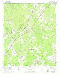
1965 Map of Madras
USGS Topo · Published 1974About this map
The Atlanta and West Point railroad corridor anchors this survey of Coweta County, illustrating a landscape transitioning from traditional rural crossroads to early suburban development. The community of Madras sits near the western edge, surrounded by family-named landmarks like Cates Lake and Nelms Lakes. Further south and east, hubs like Thomas Crossroads and Vineyard Crossroads define the local road network, which is peppered with country churches such as New Macedonia Ch and Cokes Chapel.
Find a feature on this map
74 named features on this map. Tap any name to fly to it.
Don’t see what you’re looking for? This feature index may not catch every label — zoom into the map to look around manually.
Map Details
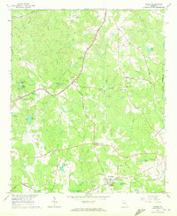
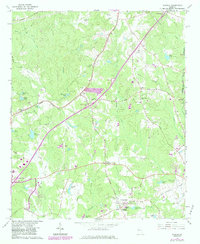
Editions of this 1965 Madras Map
4 editions found

Other maps of this area

1891 · Marietta
USGS Topo · 1:125,000

1895 · Marietta
USGS Topo · 1:125,000

1897 · Marietta
USGS Topo · 1:125,000

1901 · Marietta
USGS Topo · 1:125,000

1953 · Atlanta
USGS Topo · 1:250,000

1954 · Palmetto
USGS Topo · 1:24,000

1954 · Fairburn
USGS Topo · 1:24,000

1957 · Atlanta
USGS Topo · 1:250,000

1958 · Rico
USGS Topo · 1:24,000

1958 · Atlanta
USGS Topo · 1:250,000