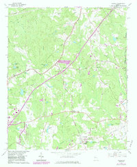
1965 Map of Madras
USGS Topo · Published 1983About this map
Madras and Tyrone anchor this landscape during a period of transition as the interstate highway system began to reshape Coweta and Fayette Counties. The 1983 photorevision reveals the expansion of the highway corridor, specifically around Interchange 10 and Interchange 11, which carved through the rural agricultural patterns of the mid-20th century. Local landmarks like the McCollum Lookout Tower and Camp Prather stand alongside numerous country churches, including Morning Star Ch and New Mt Calvary Ch, which serve as vital genealogical markers for the area. The drainage of Line Creek and Shoal Creek is dotted with private water bodies such as Nelms Lakes and Sullivan Lake, while the legacy of the Seaboard Coast Line railroad persists near the western edge. This survey documents the intersection of traditional crossroads communities like Thomas Crossroads with the burgeoning infrastructure of the modern era.
Find a feature on this map
74 named features on this map. Tap any name to fly to it.
Don’t see what you’re looking for? This feature index may not catch every label — zoom into the map to look around manually.
Map Details
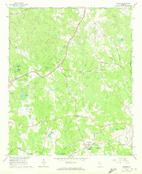
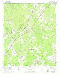
Editions of this 1965 Madras Map
4 editions found

Other maps of this area

1891 · Marietta
USGS Topo · 1:125,000

1895 · Marietta
USGS Topo · 1:125,000

1897 · Marietta
USGS Topo · 1:125,000

1901 · Marietta
USGS Topo · 1:125,000

1953 · Atlanta
USGS Topo · 1:250,000

1954 · Palmetto
USGS Topo · 1:24,000

1954 · Fairburn
USGS Topo · 1:24,000

1957 · Atlanta
USGS Topo · 1:250,000

1958 · Rico
USGS Topo · 1:24,000

1958 · Atlanta
USGS Topo · 1:250,000