
2020 Map of Luthersville
USGS Topo · Published 2020About this map
Luthersville and the surrounding rural landscapes of Meriwether and Coweta Counties are captured here in the early 21st century. The terrain is defined by a dense network of local routes such as Luthersville Rd and Rocky Mount Rd, which connect small communities like Rocky Mount, Primrose, and Wooster. The area maintains a strong connection to its past through numerous family and community burial grounds, including Hannah Cem, Dunlap Cem, and Cole Cem, scattered across the undulating countryside. Drainage patterns are influenced by numerous waterways like Panther Cr, Coleman Cr, and Little Schley Cr. Private aviation landmarks like Johnson Airport and Flying N Estates Airport contrast with the traditional agricultural and residential layout, reflecting the modern character of this Georgia landscape.
Find a feature on this map
88 named features on this map. Tap any name to fly to it.
Don’t see what you’re looking for? This feature index may not catch every label — zoom into the map to look around manually.
Map Details
Editions of this 2020 Luthersville Map
This is the sole edition of this map. No revisions or reprints were ever made.
Other maps of this area

1953 · Atlanta
USGS Topo · 1:250,000

1957 · Atlanta
USGS Topo · 1:250,000

1958 · Atlanta
USGS Topo · 1:250,000

1964 · Grantville
USGS Topo · 1:24,000
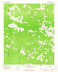
1964 · Odessadale
USGS Topo · 1:24,000

1965 · Newnan South
USGS Topo · 1:24,000

1965 · Senoia
USGS Topo · 1:24,000

1965 · Sharpsburg
USGS Topo · 1:24,000
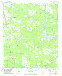
1971 · Luthersville
USGS Topo · 1:24,000
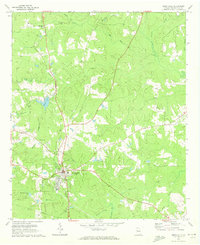
1971 · Greenville
USGS Topo · 1:24,000