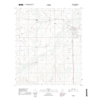
2018 Map of Luverne
USGS Topo · Published 2018About this map
The town of Luverne and the smaller community of Rutledge anchor this landscape in central Alabama, where the local economy and geography are defined by the winding course of Patsaliga Creek. This 2018 survey illustrates a region characterized by small-scale settlements and agricultural connections, with several legacy burying grounds such as Green Cem and Siloam Cem providing critical data points for family history research. North of the main town site, Frank Sikes Airport marks a modern transport node, while the presence of Cherokee Village and Ivy Creek suggests a pattern of residential clusters scattered among the timber and farm tracts.
Find a feature on this map
84 named features on this map. Tap any name to fly to it.
Don’t see what you’re looking for? This feature index may not catch every label — zoom into the map to look around manually.
Map Details
Editions of this 2018 Luverne Map
This is the sole edition of this map. No revisions or reprints were ever made.
Other maps of this area

1953 · Andalusia
USGS Topo · 1:250,000

1957 · Andalusia
USGS Topo · 1:250,000

1968 · Glenwood
USGS Topo · 1:24,000

1968 · Bullock
USGS Topo · 1:24,000

1968 · Petrey
USGS Topo · 1:24,000

1971 · Luverne
USGS Topo · 1:24,000

1971 · Brantley
USGS Topo · 1:24,000

1971 · Fullers Crossroads
USGS Topo · 1:24,000

1971 · Honoraville
USGS Topo · 1:24,000

1971 · Leon
USGS Topo · 1:24,000