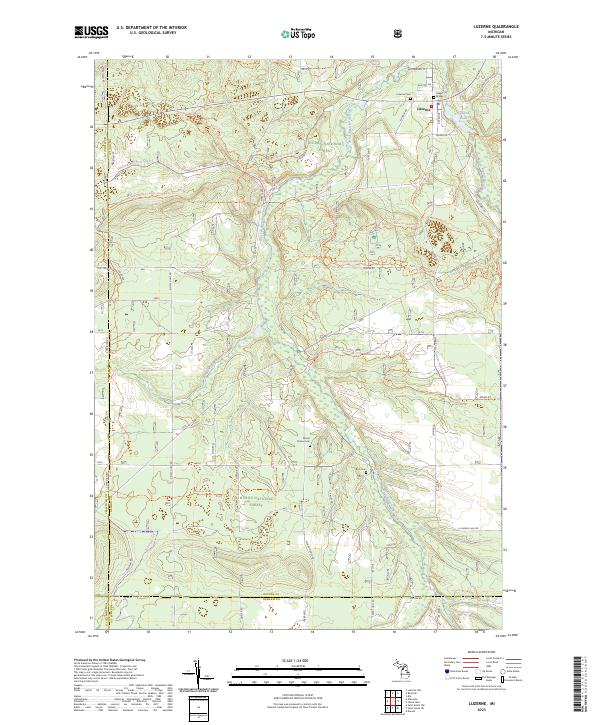
2023 Map of Luzerne
USGS Topo · Published 2023About this map
Luzerne serves as the central hub of this northern Michigan landscape, situated at the confluence of the West Branch Big Creek and the East Branch Big Creek. This area is defined by its conservation focus, featuring the expansive Kirtlands Warbler Wildlife Management Area and protected lands within the Huron National Forest. The topography is shaped by glacial remains, including Mount Pindus and various ridges that create a haven for outdoor recreation.
Find a feature on this map
64 named features on this map. Tap any name to fly to it.
Don’t see what you’re looking for? This feature index may not catch every label — zoom into the map to look around manually.
Map Details
Editions of this 2023 Luzerne Map
This is the sole edition of this map. No revisions or reprints were ever made.
Other maps of this area

1954 · Traverse City
USGS Topo · 1:250,000

1958 · Traverse City
USGS Topo · 1:250,000

1963 · Luzerne
USGS Topo · 1:24,000

1963 · Eldorado
USGS Topo · 1:24,000
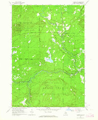
1963 · Luzerne NW
USGS Topo · 1:24,000

1963 · Red Oak
USGS Topo · 1:24,000

1965 · Damon
USGS Topo · 1:24,000

1965 · St. Helen NW
USGS Topo · 1:24,000

1965 · St. Helen NE
USGS Topo · 1:24,000

1972 · Mio
USGS Topo · 1:24,000