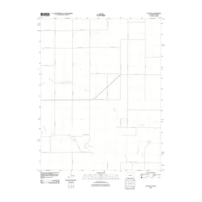
2010 Map of Lycan SE
USGS Topo · Published 2010About this map
Beaty Creek and Buffalo Creek wind through this high-plains landscape along the Colorado and Kansas border, where a rigid grid of agricultural transport routes defines the terrain. The map captures a transition in water management and land use, showing the intermittent drainage patterns of Bear Creek in the southeastern corner. Of particular interest to local historians is the County Road Railroad, a label that suggests the alignment of a former rail corridor or a route specifically designated to service the regional rail network. The strictly rectilinear road system, including arterial routes like County Road VV and County Road NN, illustrates the modern organization of the rural frontier, providing a clear view of property boundaries and access points for 21st-century ranching and farming operations.
Find a feature on this map
21 named features on this map. Tap any name to fly to it.
Don’t see what you’re looking for? This feature index may not catch every label — zoom into the map to look around manually.
Map Details
Editions of this 2010 Lycan SE Map
This is the sole edition of this map. No revisions or reprints were ever made.
Other maps of this area

1891 · Albany
USGS Topo · 1:125,000

1892 · Vilas
USGS Topo · 1:125,000

1893 · Albany
USGS Topo · 1:125,000

1900 · Syracuse
USGS Topo · 1:125,000

1920 · Syracuse
USGS Topo · 1:125,000

1955 · La Junta
USGS Topo · 1:250,000

1955 · Dodge City
USGS Topo · 1:250,000

1958 · La Junta
USGS Topo · 1:250,000

1958 · Dodge City
USGS Topo · 1:250,000

1959 · Dodge City
USGS Topo · 1:250,000