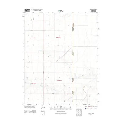
2013 Map of Lycan SE
USGS Topo · Published 2013About this map
The High Plains landscape at the border of Colorado and Kansas is defined by a sparse network of county roads and intermittent waterways. This remote prairie environment is shaped by the drainages of Beaty Creek, Buffalo Creek, and Bear Creek, which cut subtle paths through the flat terrain. The map illustrates a strictly surveyed grid of agricultural and transit corridors, including the notably named Co Road Railroad and Co-116. These routes provide the primary infrastructure for this ranching and farming region, where the section lines of Township 28 South and Township 29 South dictate the spatial organization of the land. The absence of dense settlements highlights the wide-open nature of the borderlands during the early 21st century.
Find a feature on this map
21 named features on this map. Tap any name to fly to it.
Don’t see what you’re looking for? This feature index may not catch every label — zoom into the map to look around manually.
Map Details
Editions of this 2013 Lycan SE Map
This is the sole edition of this map. No revisions or reprints were ever made.
Other maps of this area

1891 · Albany
USGS Topo · 1:125,000

1892 · Vilas
USGS Topo · 1:125,000

1893 · Albany
USGS Topo · 1:125,000

1900 · Syracuse
USGS Topo · 1:125,000

1920 · Syracuse
USGS Topo · 1:125,000

1955 · La Junta
USGS Topo · 1:250,000

1955 · Dodge City
USGS Topo · 1:250,000

1958 · La Junta
USGS Topo · 1:250,000

1958 · Dodge City
USGS Topo · 1:250,000

1959 · Dodge City
USGS Topo · 1:250,000