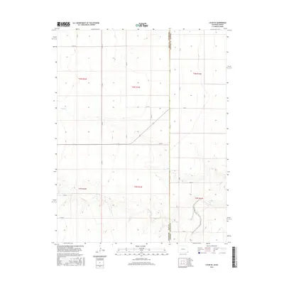
2016 Map of Lycan SE
USGS Topo · Published 2016About this map
The High Plains landscape along the Colorado and Kansas border is defined by a strict section-line road grid and the seasonal drainage of the Arkansas River basin. This survey highlights the intersection of Baca County and Stanton County, where the dry beds of Bear Creek and Buffalo Cr carve subtle topographic variations into the predominantly flat agricultural terrain. The transit network is almost entirely composed of rural section roads such as Co Rd RR and W Rd 12, which dictate the movement across this remote borderland. In the northwest corner, Beaty Cr joins the network of ephemeral streams that historically served as vital landmarks for early travelers and homesteaders in this semi-arid region. The map provides a clear look at the Public Land Survey System organization of the early 21st century, showing how townships like t28s r41w were partitioned for large-scale ranching and farming operations.
Find a feature on this map
25 named features on this map. Tap any name to fly to it.
Don’t see what you’re looking for? This feature index may not catch every label — zoom into the map to look around manually.
Map Details
Editions of this 2016 Lycan SE Map
This is the sole edition of this map. No revisions or reprints were ever made.
Other maps of this area

1891 · Albany
USGS Topo · 1:125,000

1892 · Vilas
USGS Topo · 1:125,000

1893 · Albany
USGS Topo · 1:125,000

1900 · Syracuse
USGS Topo · 1:125,000

1920 · Syracuse
USGS Topo · 1:125,000

1955 · La Junta
USGS Topo · 1:250,000

1955 · Dodge City
USGS Topo · 1:250,000

1958 · La Junta
USGS Topo · 1:250,000

1958 · Dodge City
USGS Topo · 1:250,000

1959 · Dodge City
USGS Topo · 1:250,000