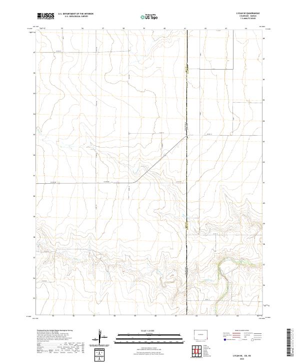
2022 Map of Lycan SE
USGS Topo · Published 2022About this map
Colorado and Kansas meet along a straight north-south meridian in this high plains borderland, where the terrain is defined by the ephemeral drainage patterns of the Arkansas River watershed. The landscape is dominated by a rigid section-line road grid, including Co Rd VV and Co Rd RR, which segment the vast agricultural reaches of Baca County and Stanton County. Occasional breaks in the geometric precision occur where Beaty Cr, Buffalo Cr, and Bear Creek meander across the plains, their winding paths carving subtle relief into the otherwise flat township and range system. This 2022 survey illustrates the enduring intersection of early 19th-century land division with modern rural infrastructure, showing how natural watercourses like Buffalo Cr still dictate the placement of local routes such as W Rd 17 and Co Rd PP.
Find a feature on this map
25 named features on this map. Tap any name to fly to it.
Don’t see what you’re looking for? This feature index may not catch every label — zoom into the map to look around manually.
Map Details
Editions of this 2022 Lycan SE Map
This is the sole edition of this map. No revisions or reprints were ever made.
Other maps of this area

1891 · Albany
USGS Topo · 1:125,000

1892 · Vilas
USGS Topo · 1:125,000

1893 · Albany
USGS Topo · 1:125,000

1900 · Syracuse
USGS Topo · 1:125,000

1920 · Syracuse
USGS Topo · 1:125,000

1955 · La Junta
USGS Topo · 1:250,000

1955 · Dodge City
USGS Topo · 1:250,000

1958 · La Junta
USGS Topo · 1:250,000

1958 · Dodge City
USGS Topo · 1:250,000

1959 · Dodge City
USGS Topo · 1:250,000