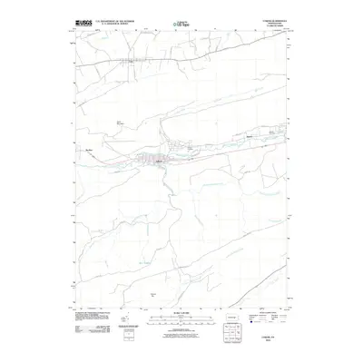
2010 Map of Lykens
USGS Topo · Published 2010About this map
Lykens and Gratz anchor this map of central Pennsylvania, where the landscape transitions from the residential grids of the coal region to the narrow valleys and ridges of the Appalachians. The drainage pattern of Wiconisco Creek and its many tributaries, such as Big Run and Rattling Creek, dictates the location of settlements like Dayton. To the south, the terrain becomes increasingly complex around Short Mountain and Round Top, separated by numerous seasonal and perennial runs including Smoke Hole Run and Nine O'Clock Run. Local history is preserved in the location of Calvary Cemetery and Fairview Cemetery, while the network of roads like Indian Trail Rd and Lykens Rd provides a detailed view of modern access across this varied terrain.
Find a feature on this map
47 named features on this map. Tap any name to fly to it.
Don’t see what you’re looking for? This feature index may not catch every label — zoom into the map to look around manually.
Map Details
Editions of this 2010 Lykens Map
This is the sole edition of this map. No revisions or reprints were ever made.
Other maps of this area

1892 · Lykens
USGS Topo · 1:62,500

1892 · Hummelstown
USGS Topo · 1:62,500

1892 · Harrisburg
USGS Topo · 1:62,500

1893 · Lykens
USGS Topo · 1:62,500

1893 · Millersburg
USGS Topo · 1:62,500

1899 · Harrisburg
USGS Topo · 1:62,500

1924 · Hummelstown
USGS Topo · 1:62,500

1924 · Harrisburg
USGS Topo · 1:62,500

1943 · Millersburg
USGS Topo · 1:62,500

1943 · Lykens
USGS Topo · 1:62,500