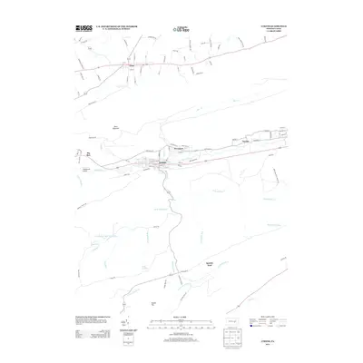
2013 Map of Lykens
USGS Topo · Published 2013About this map
Lykens and Wiconisco anchor this survey of the northern Dauphin County corridor, situated where the valley floor meets the steep rise of Short Mountain. The development pattern follows the path of Wiconisco Cr, with the clustered street grids of Gratz and Dayton reflecting the region's long-standing reliance on the east-west transit lines. While the northern half of the map shows an organized rural layout connected by roads like Lubolds School Rd, the southern portion is dominated by the dense drainage networks of the Stony Mountain area.
Find a feature on this map
98 named features on this map. Tap any name to fly to it.
Don’t see what you’re looking for? This feature index may not catch every label — zoom into the map to look around manually.
Map Details
Editions of this 2013 Lykens Map
This is the sole edition of this map. No revisions or reprints were ever made.
Other maps of this area

1892 · Lykens
USGS Topo · 1:62,500

1892 · Hummelstown
USGS Topo · 1:62,500

1892 · Harrisburg
USGS Topo · 1:62,500

1893 · Lykens
USGS Topo · 1:62,500

1893 · Millersburg
USGS Topo · 1:62,500

1899 · Harrisburg
USGS Topo · 1:62,500

1924 · Hummelstown
USGS Topo · 1:62,500

1924 · Harrisburg
USGS Topo · 1:62,500

1943 · Millersburg
USGS Topo · 1:62,500

1943 · Lykens
USGS Topo · 1:62,500