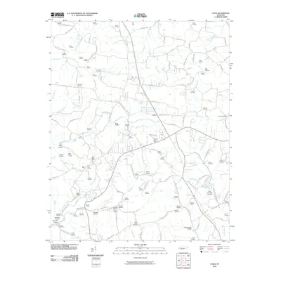
2010 Map of Lyles
USGS Topo · Published 2010About this map
Iron Hill Mine and the Lyles Mine anchor the northern and central sections of this Hickman County landscape, pointing to the region's deep connection to mineral extraction. Near the Lyles Post Office, the presence of the Baker Hollow Prospect and Wrigley Prospect suggests a terrain defined by exploration and industry. The map captures a transition between the elevated heights of Cap's Ridge and the varied hollows that carve the earth, including Potts Hollow and Gossett Hollow.
Find a feature on this map
150 named features on this map. Tap any name to fly to it.
Don’t see what you’re looking for? This feature index may not catch every label — zoom into the map to look around manually.
Map Details
Editions of this 2010 Lyles Map
This is the sole edition of this map. No revisions or reprints were ever made.
Other maps of this area

1901 · Colombia
USGS Topo · 1:125,000

1930 · White Bluff
USGS Topo · 1:62,500

1933 · White Bluff
USGS Topo · 1:62,500

1936 · Primm
USGS Topo · 1:24,000

1936 · Nunnelly
USGS Topo · 1:24,000

1936 · Littlelot
USGS Topo · 1:24,000

1936 · Texas Hollow
USGS Topo · 1:24,000

1936 · Burns
USGS Topo · 1:24,000

1936 · Craigfield
USGS Topo · 1:24,000

1936 · Lyles
USGS Topo · 1:24,000