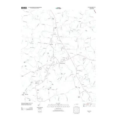
2013 Map of Lyles
USGS Topo · Published 2013About this map
Lyles and the surrounding Dickson County countryside are defined by a network of creeks and numerous family-named hollows that dictate the local geography. The landscape is carved by waterways such as N Fork Bear Cr and N Fork Mill Cr, while settlements like Bon Aqua and Wrigley sit at key junctions of local roads. The area’s mineral and timber history is suggested by the rugged terrain of Cave Hollow and Gossett Hollow, along with the presence of the Bon Aqua Lookout Tower.
Find a feature on this map
216 named features on this map. Tap any name to fly to it.
Don’t see what you’re looking for? This feature index may not catch every label — zoom into the map to look around manually.
Map Details
Editions of this 2013 Lyles Map
This is the sole edition of this map. No revisions or reprints were ever made.
Other maps of this area

1901 · Colombia
USGS Topo · 1:125,000

1930 · White Bluff
USGS Topo · 1:62,500

1933 · White Bluff
USGS Topo · 1:62,500

1936 · Primm
USGS Topo · 1:24,000

1936 · Nunnelly
USGS Topo · 1:24,000

1936 · Littlelot
USGS Topo · 1:24,000

1936 · Texas Hollow
USGS Topo · 1:24,000

1936 · Burns
USGS Topo · 1:24,000

1936 · Craigfield
USGS Topo · 1:24,000

1936 · Lyles
USGS Topo · 1:24,000