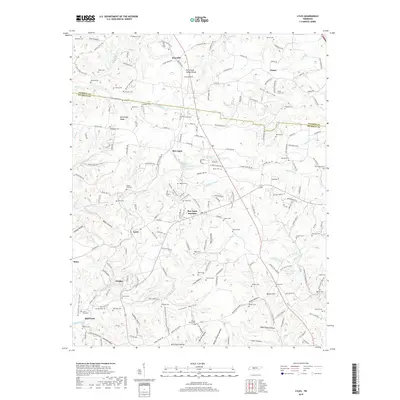
2019 Map of Lyles
USGS Topo · Published 2019About this map
Missionary Ridge stands as a prominent geographic spine across this Tennessee landscape, where the Tennessee Valley Divide separates local drainages. The area is characterized by a high density of family cemeteries and historic church sites, including Missionary Ridge Ch and Cedar Hill Cem, reflecting generations of rural settlement. The community of Bon Aqua is notable for its namesake Bon Aqua Springs, which historically anchored the local geography alongside the newer hub at Bon Aqua Junction.
Find a feature on this map
187 named features on this map. Tap any name to fly to it.
Don’t see what you’re looking for? This feature index may not catch every label — zoom into the map to look around manually.
Map Details
Editions of this 2019 Lyles Map
This is the sole edition of this map. No revisions or reprints were ever made.
Other maps of this area

1901 · Colombia
USGS Topo · 1:125,000

1930 · White Bluff
USGS Topo · 1:62,500

1933 · White Bluff
USGS Topo · 1:62,500

1936 · Primm
USGS Topo · 1:24,000

1936 · Nunnelly
USGS Topo · 1:24,000

1936 · Littlelot
USGS Topo · 1:24,000

1936 · Texas Hollow
USGS Topo · 1:24,000

1936 · Burns
USGS Topo · 1:24,000

1936 · Craigfield
USGS Topo · 1:24,000

1936 · Lyles
USGS Topo · 1:24,000