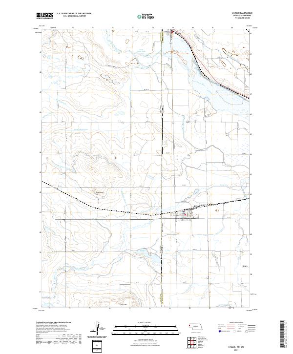
2021 Map of Lyman
USGS Topo · Published 2021About this map
Lyman sits at the heart of an intricate irrigation network along the Wyoming-Nebraska border, where the High Plains landscape is transformed by a dense system of canals and drains. The North Platte River flows through the northern reaches, feeding essential water into arteries like the Tri-State Canal and the Mitchell and Gering Canal. This reliance on water management is evident in the numerous named ditches and laterals, including the Packer Ditch and Springer Lateral, which define the agricultural economy of the region.
Find a feature on this map
69 named features on this map. Tap any name to fly to it.
Don’t see what you’re looking for? This feature index may not catch every label — zoom into the map to look around manually.
Map Details
Editions of this 2021 Lyman Map
This is the sole edition of this map. No revisions or reprints were ever made.
Other maps of this area

1896 · Patrick
USGS Topo · 1:125,000

1898 · Scotts Bluff
USGS Topo · 1:125,000

1899 · Goshen Hole
USGS Topo · 1:125,000

1899 · Whistle Creek
USGS Topo · 1:125,000

1954 · Scottsbluff
USGS Topo · 1:250,000

1954 · Torrington
USGS Topo · 1:250,000

1954 · Cheyenne
USGS Topo · 1:250,000

1955 · Alliance
USGS Topo · 1:250,000

1957 · Alliance
USGS Topo · 1:250,000

1958 · Cheyenne
USGS Topo · 1:250,000