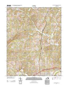
2013 Map of Lynch Station
USGS Topo · Published 2013About this map
Lynch Station and Evington anchor this central Virginia landscape where the Big Otter River and Otter River converge toward the Roanoke River. The settlement pattern reflects modern residential growth in areas like Lakewood, Valley View Heights, and Seminole Ridge, yet the map preserves agricultural and local landforms that have long defined the region. Prominent peaks such as Johnson Mountain, Scott Mountain, and Haden Mountain overlook a complex network of creeks including Orrix Cr and Mill Cr. Notable local infrastructure is evident in the presence of the White Oak Springs Dairy Farm and a specialized Airplane Runway south of Lynch Station. The map captures the transition of the Campbell County countryside, balancing established dairy operations with newer suburban developments situated between the river valleys and the foothills.
Find a feature on this map
90 named features on this map. Tap any name to fly to it.
Don’t see what you’re looking for? This feature index may not catch every label — zoom into the map to look around manually.
Map Details
Editions of this 2013 Lynch Station Map
This is the sole edition of this map. No revisions or reprints were ever made.
Other maps of this area

1892 · Lynchburg
USGS Topo · 1:125,000

1944 · Lynchburg
USGS Topo · 1:62,500

1947 · Roanoke
USGS Topo · 1:250,000

1950 · Goode
USGS Topo · 1:62,500

1950 · Lynchburg
USGS Topo · 1:62,500

1951 · Altavista
USGS Topo · 1:62,500

1956 · Gladys
USGS Topo · 1:62,500

1959 · Roanoke
USGS Topo · 1:250,000

1963 · Roanoke
USGS Topo · 1:250,000

1963 · City Farm
USGS Topo · 1:24,000