
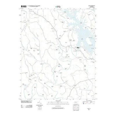
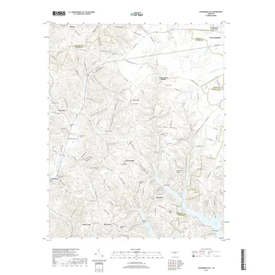
2022 Map of Lynchburg East
USGS Topo · Published 2022About this map
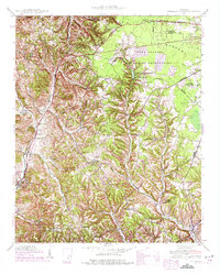
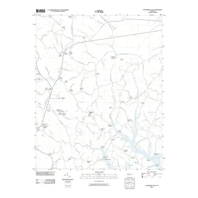
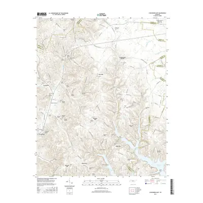
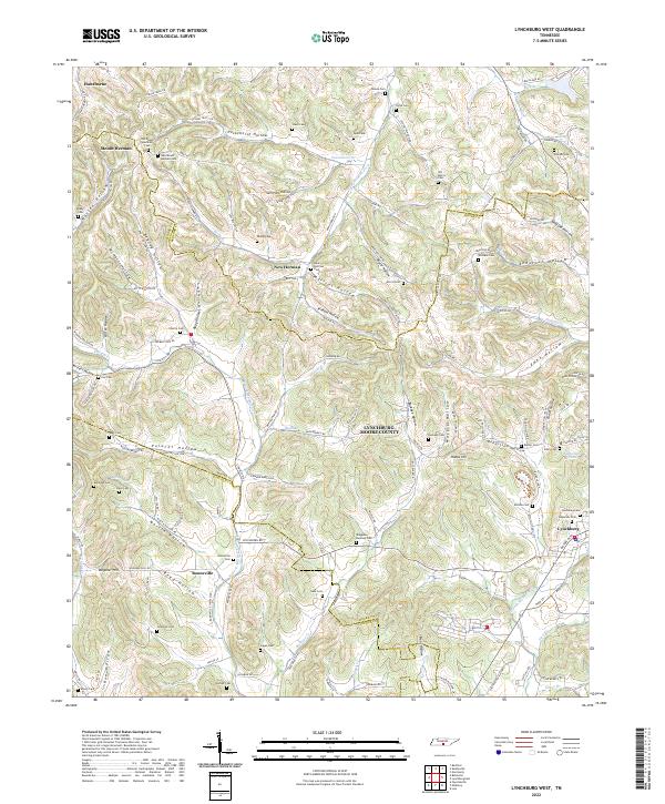
Lynchburg and the surrounding hollows of Moore County define this landscape, where the historic Moore County Courthouse serves as a central landmark. The map captures a transition from the agricultural plateaus to the deeply carved drainages of Bobo Hollow, Price Hollow, and Cobb Hollow. These valleys are dotted with small settlements like Raysville, Bakertown, and Ridgeville, many centered around family-named landmarks and local burial grounds such as Bryant Cem and Gore Cem.
Find a feature on this map
146 named features on this map. Tap any name to fly to it.
Don’t see what you’re looking for? This feature index may not catch every label — zoom into the map to look around manually.
Map Details
Editions of this 2022 Lynchburg East Map
This is the sole edition of this map. No revisions or reprints were ever made.
Historical Maps of Tullahoma Through Time
24 maps found
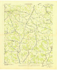
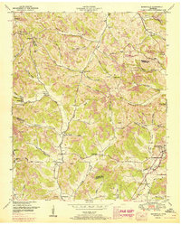
1936 Booneville
Moore County, TN

1936 Cumberland Springs
Moore County, TN
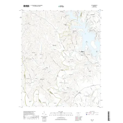
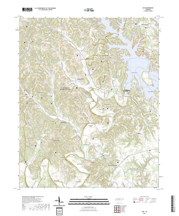
1936 Lois
Moore County, TN
1941 Cumberland Springs
Moore County, TN
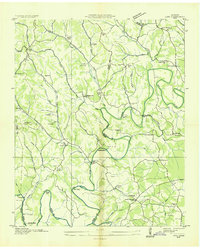
1947 Lois
Moore County, TN

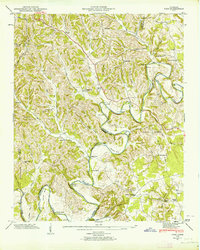
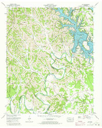
1949 Lynchburg West
Moore County, TN
1951 Booneville
Moore County, TN
1972 Lois
Moore County, TN
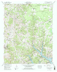
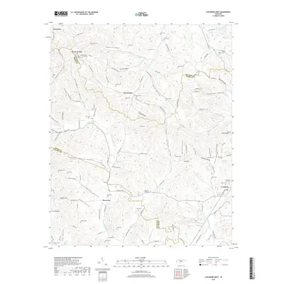
1978 Lynchburg East
Moore County, TN
2010 Lois
Moore County, TN
2010 Lynchburg East
Moore County, TN
2010 Lynchburg West
Moore County, TN
2013 Lois
Moore County, TN
2013 Lynchburg East
Moore County, TN
2013 Lynchburg West
Moore County, TN
2016 Lois
Moore County, TN
2016 Lynchburg East
Moore County, TN
2016 Lynchburg West
Moore County, TN
2019 Lois
Moore County, TN
2019 Lynchburg East
Moore County, TN
2019 Lynchburg West
Moore County, TN
2022 Lois
Moore County, TN
2022 Lynchburg East
Moore County, TN
2022 Lynchburg West
Moore County, TN