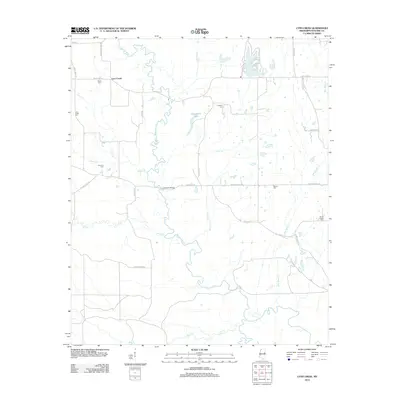
2012 Map of Lynn Creek
USGS Topo · Published 2012About this map
Lynn Creek and its surrounding rural community in Noxubee County are defined by a complex drainage system flowing toward the Noxubee River. The river winds through the center of the terrain, joined by numerous tributaries such as Horse Cr, Yellow Cr, and Coon Cr. The landscape is dotted with several family and community burial grounds, providing a clear map for genealogists tracking local surnames; these include White Cem near the northern boundary and Soule Chapel Cem to the southeast. Transport in the early 21st century relied on a network of established local routes like Lynn Creek Rd and Macon Lynn Cr Rd, crossing the water at significant landmarks like Cranford Bridge. The presence of Carpenters Lake and the residential names associated with the road network, such as St John's Church Rd, reflect a long-standing settlement pattern tied to the area's agricultural and hydrological features.
Find a feature on this map
40 named features on this map. Tap any name to fly to it.
Don’t see what you’re looking for? This feature index may not catch every label — zoom into the map to look around manually.
Map Details
Editions of this 2012 Lynn Creek Map
This is the sole edition of this map. No revisions or reprints were ever made.
Other maps of this area

1953 · West Point
USGS Topo · 1:250,000

1958 · West Point
USGS Topo · 1:250,000

1959 · Artesia
USGS Topo · 1:62,500

1963 · West Point
USGS Topo · 1:250,000

1965 · Bluff Lake
USGS Topo · 1:24,000
1973 · Fearns Springs
USGS Topo · 1:24,000
1973 · Brooksville
USGS Topo · 1:24,000
1973 · Barge Lake
USGS Topo · 1:24,000
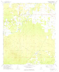
1973 · Mashulaville
USGS Topo · 1:24,000
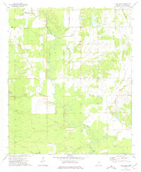
1973 · Lynn Creek
USGS Topo · 1:24,000