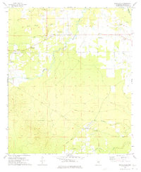
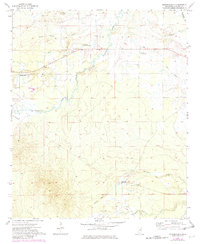
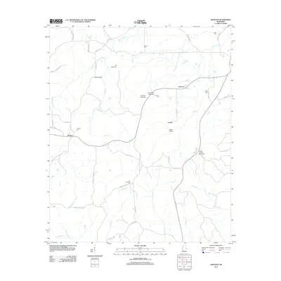
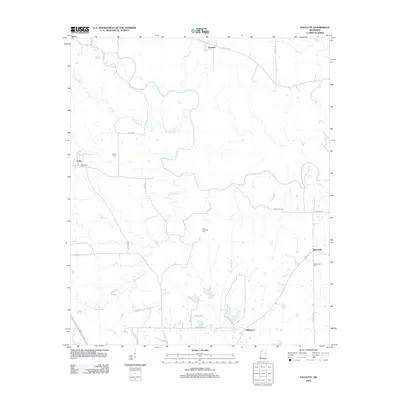
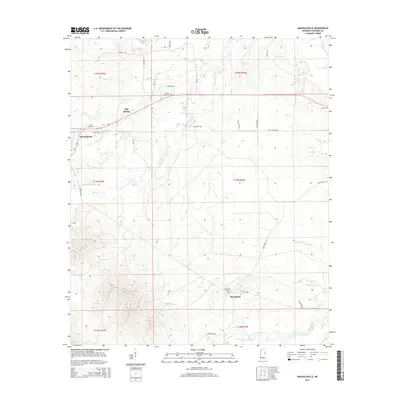
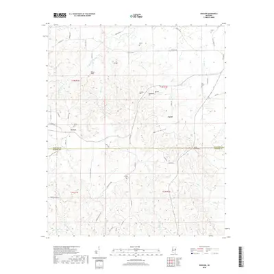
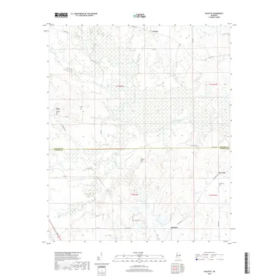
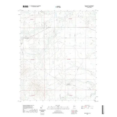
1973 Map of Mashulaville
USGS Topo · Published 1975About this map
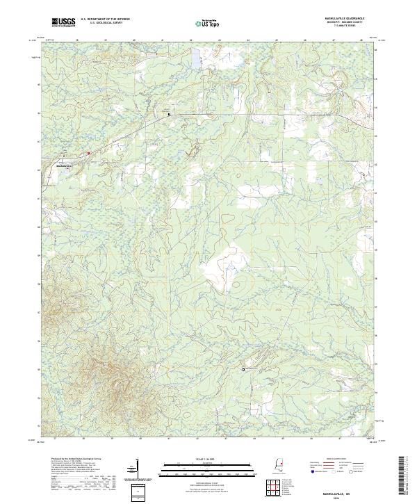
Mashulaville serves as the primary settlement in this portion of rural Noxubee County, surrounded by a network of rural churches and family cemeteries that define the social geography of the early 1970s. The landscape is characterized by the winding path of Hashuqua Creek and its many tributaries, including Wolf Creek and Dry Creek, which feed toward the Noxubee R in the northeast.
Find a feature on this map
23 named features on this map. Tap any name to fly to it.
Don’t see what you’re looking for? This feature index may not catch every label — zoom into the map to look around manually.
Map Details
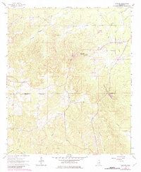
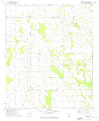
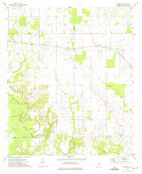
Editions of this 1973 Mashulaville Map
2 editions found
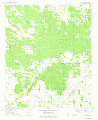
Historical Maps of Macedonia Through Time
36 maps found
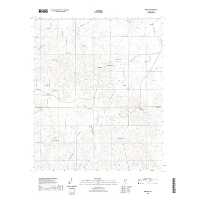
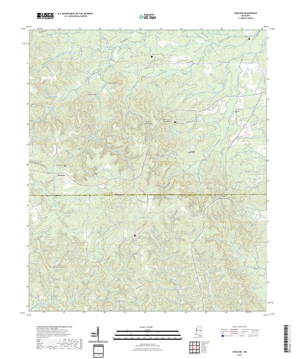
1963 Gholson
Noxubee County, MS
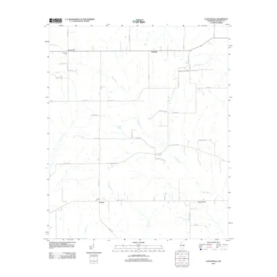
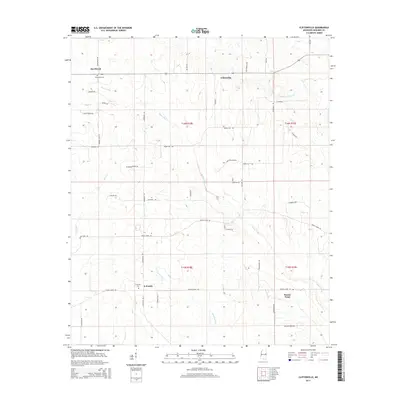
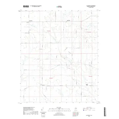
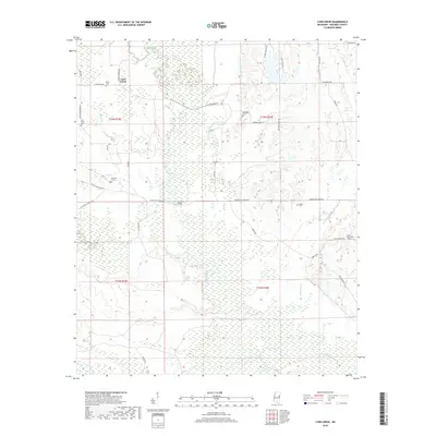
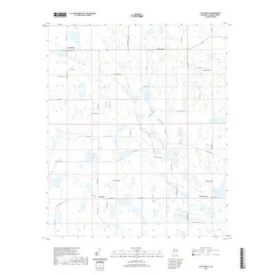
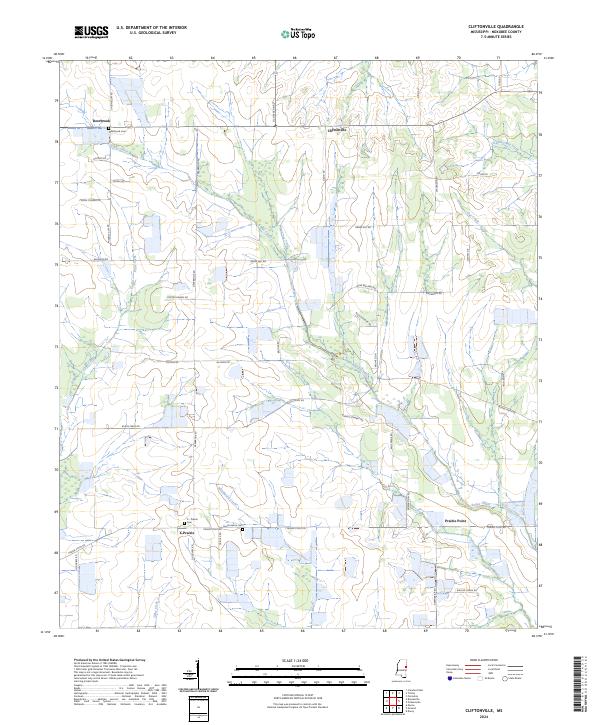
1973 Cliftonville
Noxubee County, MS
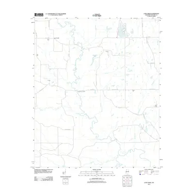
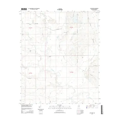
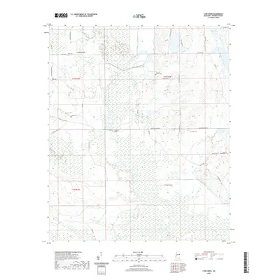
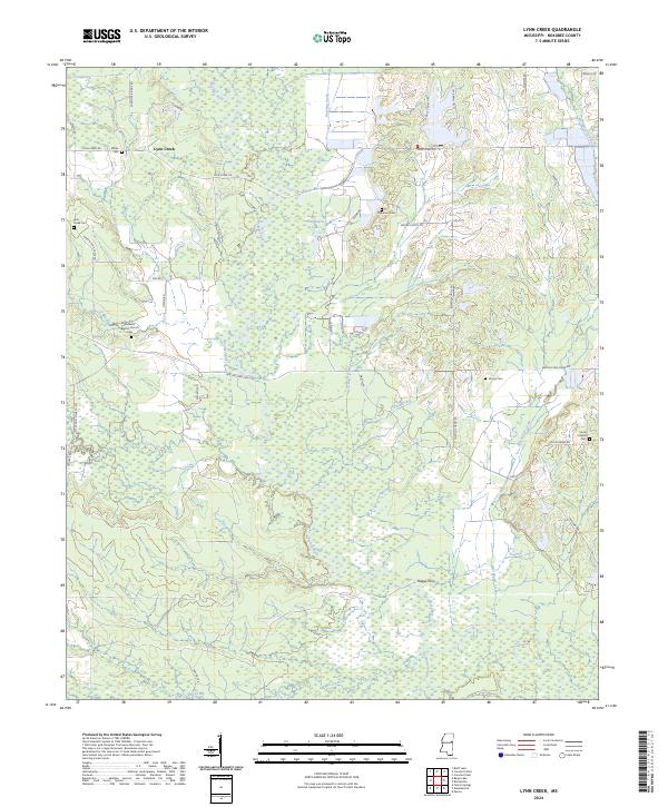
1973 Lynn Creek
Noxubee County, MS
1973 Mashulaville
Noxubee County, MS
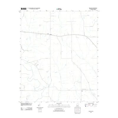
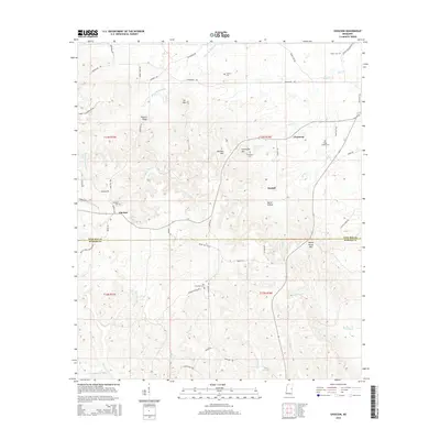
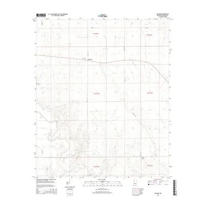
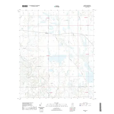
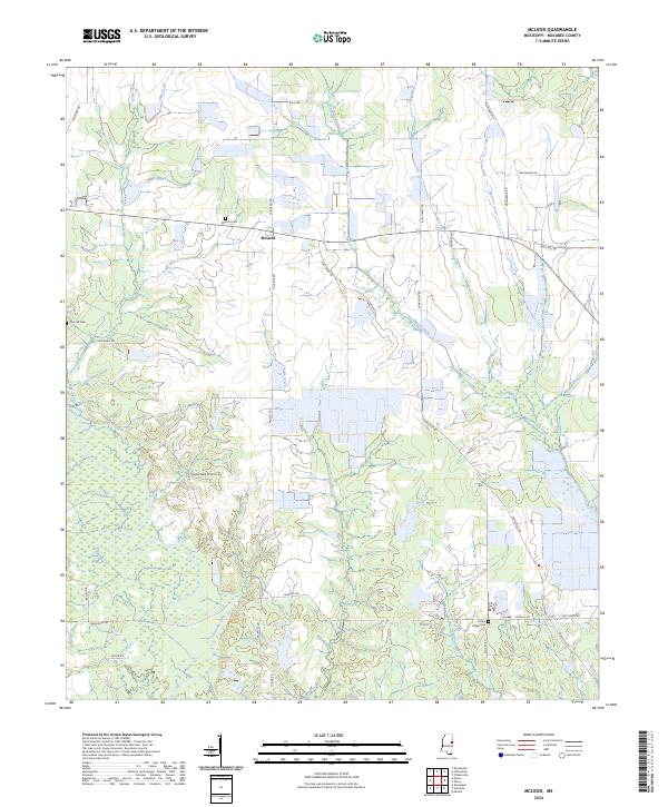
1973 McLeod
Noxubee County, MS
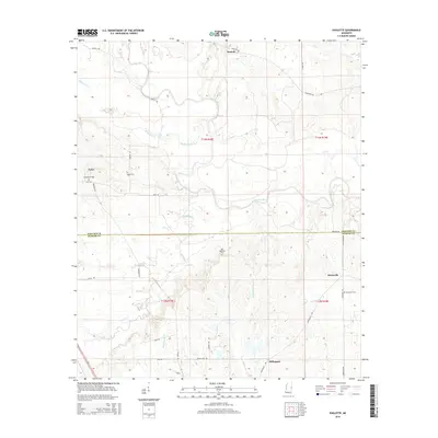
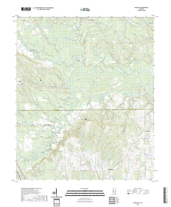
1973 Paulette
Noxubee County, MS
2012 Cliftonville
Noxubee County, MS
2012 Gholson
Noxubee County, MS
2012 Lynn Creek
Noxubee County, MS
2012 Mashulaville
Noxubee County, MS
2012 McLeod
Noxubee County, MS
2012 Paulette
Noxubee County, MS
2015 Cliftonville
Noxubee County, MS
2015 Gholson
Noxubee County, MS
2015 Lynn Creek
Noxubee County, MS
2015 Mashulaville
Noxubee County, MS
2015 McLeod
Noxubee County, MS
2015 Paulette
Noxubee County, MS
2018 Cliftonville
Noxubee County, MS
2018 Gholson
Noxubee County, MS
2018 Lynn Creek
Noxubee County, MS
2018 Mashulaville
Noxubee County, MS
2018 McLeod
Noxubee County, MS
2018 Paulette
Noxubee County, MS
2020 Cliftonville
Noxubee County, MS
2020 Gholson
Noxubee County, MS
2020 Lynn Creek
Noxubee County, MS
2020 Mashulaville
Noxubee County, MS
2020 McLeod
Noxubee County, MS
2020 Paulette
Noxubee County, MS
2024 Cliftonville
Noxubee County, MS
2024 Gholson
Noxubee County, MS
2024 Lynn Creek
Noxubee County, MS
2024 Mashulaville
Noxubee County, MS
2024 McLeod
Noxubee County, MS
2024 Paulette
Noxubee County, MS