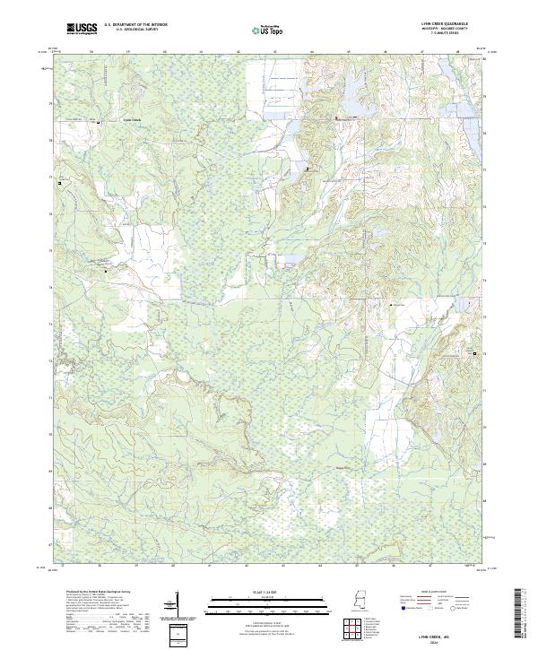
2024 Map of Lynn Creek
USGS Topo · Published 2024About this map
The Noxubee River meanders through this portion of Noxubee County, where dense wetlands and creek bottoms define the rural landscape. In the northern reaches, the Sam D Hamilton Noxubee National Wildlife Refuge preserves the natural bottomlands, while the small settlement of Lynn Creek serves as a local anchor point near the Lynn Creek Cem. The map reveals a deeply rooted community structure, evidenced by numerous family and church burial grounds such as White Cem, Carpenter Cem, and the Moore Cem. Along the river to the south, the name Buggs Ferry recalls an era of river crossings. Social and spiritual life is anchored by landmarks like Ruhama Baptist Church and Soule Chapel, each with its own associated cemetery. This survey provides a contemporary look at a landscape where traditional land divisions and remote creek systems like Shotbag Creek and Hushpucka Creek persist.
Find a feature on this map
47 named features on this map. Tap any name to fly to it.
Don’t see what you’re looking for? This feature index may not catch every label — zoom into the map to look around manually.
Map Details
Editions of this 2024 Lynn Creek Map
This is the sole edition of this map. No revisions or reprints were ever made.
Other maps of this area

1953 · West Point
USGS Topo · 1:250,000

1958 · West Point
USGS Topo · 1:250,000

1959 · Artesia
USGS Topo · 1:62,500

1963 · West Point
USGS Topo · 1:250,000

1965 · Bluff Lake
USGS Topo · 1:24,000
1973 · Fearns Springs
USGS Topo · 1:24,000
1973 · Brooksville
USGS Topo · 1:24,000
1973 · Barge Lake
USGS Topo · 1:24,000
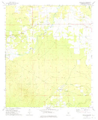
1973 · Mashulaville
USGS Topo · 1:24,000
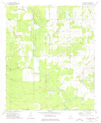
1973 · Lynn Creek
USGS Topo · 1:24,000