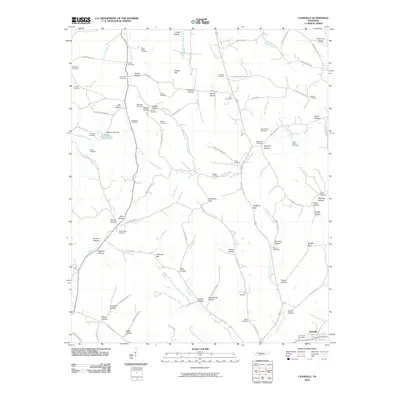
2010 Map of Lynnville
USGS Topo · Published 2010About this map
Lynnville anchors the southern boundary of this Giles County landscape, where the headwaters of numerous creeks carve a complex system of hollows and gaps. The terrain is defined by its water-carved geography, with Fountain Creek and Little Bigby Creek draining the northern slopes, while Lynn Creek and the East Fork Lynn Creek flow toward the south. This network of waterways historically dictated the placement of homesteads and small communities, many of which are now represented primarily by their family burial grounds.
Find a feature on this map
107 named features on this map. Tap any name to fly to it.
Don’t see what you’re looking for? This feature index may not catch every label — zoom into the map to look around manually.
Map Details
Editions of this 2010 Lynnville Map
This is the sole edition of this map. No revisions or reprints were ever made.
Other maps of this area

1901 · Colombia
USGS Topo · 1:125,000

1936 · Sandy Hook
USGS Topo · 1:24,000

1936 · Milky Way
USGS Topo · 1:24,000

1936 · Campbellsville
USGS Topo · 1:24,000

1936 · Brick Church
USGS Topo · 1:24,000

1936 · Campbells Station
USGS Topo · 1:24,000

1936 · Mount Pleasant
USGS Topo · 1:24,000

1936 · Glendale
USGS Topo · 1:24,000

1936 · Columbia
USGS Topo · 1:24,000

1936 · Lynnville
USGS Topo · 1:24,000