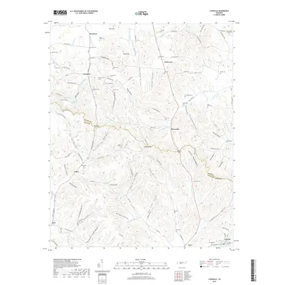
2019 Map of Lynnville
USGS Topo · Published 2019About this map
Elk Ridge serves as a prominent natural divider along the border of Maury and Giles Counties, overlooking a landscape defined by steep hollows and narrow creek bottoms. The settlement pattern here is deeply rural, with small communities like Yokley, Stiversville, and Waco connected by a network of winding roads such as Campbellsville Pike and Stiversville Rd. The area is notably dense with family-named burial grounds, including the Perry-Pillow Cem, Akers-Brown Cem, and the uniquely named Old Camping Ground Cem, indicating long-standing generational ties to the land.
Find a feature on this map
130 named features on this map. Tap any name to fly to it.
Don’t see what you’re looking for? This feature index may not catch every label — zoom into the map to look around manually.
Map Details
Editions of this 2019 Lynnville Map
This is the sole edition of this map. No revisions or reprints were ever made.
Other maps of this area

1901 · Colombia
USGS Topo · 1:125,000

1936 · Sandy Hook
USGS Topo · 1:24,000

1936 · Milky Way
USGS Topo · 1:24,000

1936 · Campbellsville
USGS Topo · 1:24,000

1936 · Brick Church
USGS Topo · 1:24,000

1936 · Campbells Station
USGS Topo · 1:24,000

1936 · Mount Pleasant
USGS Topo · 1:24,000

1936 · Glendale
USGS Topo · 1:24,000

1936 · Columbia
USGS Topo · 1:24,000

1936 · Lynnville
USGS Topo · 1:24,000