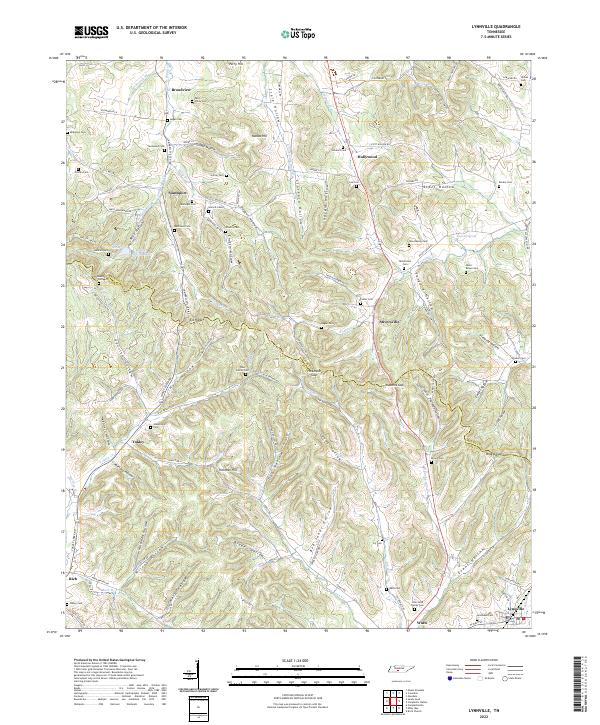
2022 Map of Lynnville
USGS Topo · Published 2022About this map
Elk Ridge and the deeply dissected valleys of the Maury Co Giles Co line define this area of Middle Tennessee. The landscape is characterized by numerous small settlements and family burial grounds, such as the John Laird Family Cem and West Family Cem, which speak to a long history of rural homesteading. Communities like Stiversville, Yokley, and Southport are connected by a network of hollow roads, including Parrish Hollow Rd and Kersey Hollow Rd, which follow the natural contours of the terrain. The presence of numerous gaps, such as Hickmans Gap and Braggs Gap, highlights the importance of mountain passes for travel through the ridge-and-valley topography. Water sources like Badger Spring Lake and Fountain Cr further illustrate the area's geography, supporting the small hamlets that have endured along the county boundary.
Find a feature on this map
131 named features on this map. Tap any name to fly to it.
Don’t see what you’re looking for? This feature index may not catch every label — zoom into the map to look around manually.
Map Details
Editions of this 2022 Lynnville Map
This is the sole edition of this map. No revisions or reprints were ever made.
Other maps of this area

1901 · Colombia
USGS Topo · 1:125,000

1936 · Sandy Hook
USGS Topo · 1:24,000

1936 · Milky Way
USGS Topo · 1:24,000

1936 · Campbellsville
USGS Topo · 1:24,000

1936 · Brick Church
USGS Topo · 1:24,000

1936 · Campbells Station
USGS Topo · 1:24,000

1936 · Mount Pleasant
USGS Topo · 1:24,000

1936 · Glendale
USGS Topo · 1:24,000

1936 · Columbia
USGS Topo · 1:24,000

1936 · Lynnville
USGS Topo · 1:24,000