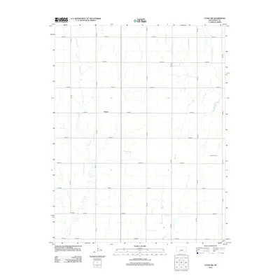
2012 Map of Lyons NW
USGS Topo · Published 2012About this map
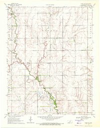
The settlement of Pollard serves as the central point for this Rice County survey, which documents the rural landscape northwest of Lyons during the early twenty-first century. This portion of the Kansas plains is characterized by a precise grid of agricultural roads, including Avenue C through Avenue K, which intersect with north-south routes like 15th Rd. The natural drainage of the region is defined by the winding course of Little Cow Cr, while the Little Arkansas River clips the northeastern corner of the sheet. For genealogists and local historians, the Shumway Cem in the southwestern quadrant provides a specific point of family history. The presence of the Kepley Oil Field to the east reflects the ongoing importance of energy extraction in the local economy, set against a backdrop of traditional prairie farming.
Find a feature on this map
23 named features on this map. Tap any name to fly to it.
Don’t see what you’re looking for? This feature index may not catch every label — zoom into the map to look around manually.
Map Details
Editions of this 2012 Lyons NW Map
This is the sole edition of this map. No revisions or reprints were ever made.
Other maps of this area

1894 · Ellsworth
USGS Topo · 1:125,000

1894 · Lyons
USGS Topo · 1:125,000

1955 · Great Bend
USGS Topo · 1:250,000

1957 · Great Bend
USGS Topo · 1:250,000

1958 · Great Bend
USGS Topo · 1:250,000
1964 · Crawford
USGS Topo · 1:24,000
1964 · Geneseo
USGS Topo · 1:24,000
1964 · Lorraine
USGS Topo · 1:24,000

1970 · Lyons
USGS Topo · 1:24,000
1970 · Chase NE
USGS Topo · 1:24,000