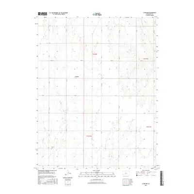
2015 Map of Lyons NW
USGS Topo · Published 2015About this map
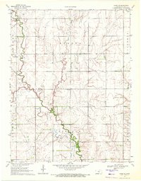
The small settlement of Pollard sits at the intersection of Ave F and 15th Rd, serving as a central point in this agricultural landscape of central Kansas. To the southwest, the Shumway Cemetery is situated near the banks of Little Cow Creek, providing a significant site for genealogical research and local history. The terrain is defined by a dendritic drainage pattern where several small waterways, including Owl Creek and Salt Creek, move toward the Little Arkansas River in the northeastern corner. This 2015 survey illustrates the enduring Section Line road grid, with routes like 14th Rd and Ave C framing the vast, partitioned fields of Rice County. The map captures the quiet continuity of the Great Plains, where historic cemeteries and small crossroads settlements remain the primary human landmarks among the winding creek beds.
Find a feature on this map
26 named features on this map. Tap any name to fly to it.
Don’t see what you’re looking for? This feature index may not catch every label — zoom into the map to look around manually.
Map Details
Editions of this 2015 Lyons NW Map
This is the sole edition of this map. No revisions or reprints were ever made.
Other maps of this area

1894 · Ellsworth
USGS Topo · 1:125,000

1894 · Lyons
USGS Topo · 1:125,000

1955 · Great Bend
USGS Topo · 1:250,000

1957 · Great Bend
USGS Topo · 1:250,000

1958 · Great Bend
USGS Topo · 1:250,000
1964 · Crawford
USGS Topo · 1:24,000
1964 · Geneseo
USGS Topo · 1:24,000
1964 · Lorraine
USGS Topo · 1:24,000

1970 · Lyons
USGS Topo · 1:24,000
1970 · Chase NE
USGS Topo · 1:24,000