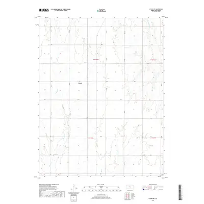
2018 Map of Lyons NW
USGS Topo · Published 2018About this map
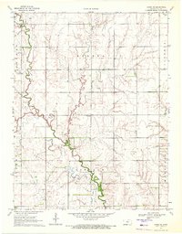
The settlement of Pollard occupies the central Kansas landscape, where the agricultural grid of Rice County is defined by a series of north-south roads like 147th Rd and 177th Rd. The terrain is shaped by the drainage patterns of several tributaries, most notably Little Cow Cr in the west and the Little Arkansas River crossing the northeastern corner. In the southwestern portion of the map, the Shumway Cem serves as a significant landmark for genealogical research, situated near the headwaters of the local creek system. The map reflects a modern rural landscape where traditional township and range boundaries, such as t18s r8w, still dictate the spatial organization of farms and homesteads. Local waterways like Salt Cr and Owl Cr wind through the sectioned land, illustrating the persistent influence of the prairie hydrology on the region's development.
Find a feature on this map
25 named features on this map. Tap any name to fly to it.
Don’t see what you’re looking for? This feature index may not catch every label — zoom into the map to look around manually.
Map Details
Editions of this 2018 Lyons NW Map
This is the sole edition of this map. No revisions or reprints were ever made.
Other maps of this area

1894 · Ellsworth
USGS Topo · 1:125,000

1894 · Lyons
USGS Topo · 1:125,000

1955 · Great Bend
USGS Topo · 1:250,000

1957 · Great Bend
USGS Topo · 1:250,000

1958 · Great Bend
USGS Topo · 1:250,000
1964 · Crawford
USGS Topo · 1:24,000
1964 · Geneseo
USGS Topo · 1:24,000
1964 · Lorraine
USGS Topo · 1:24,000

1970 · Lyons
USGS Topo · 1:24,000
1970 · Chase NE
USGS Topo · 1:24,000