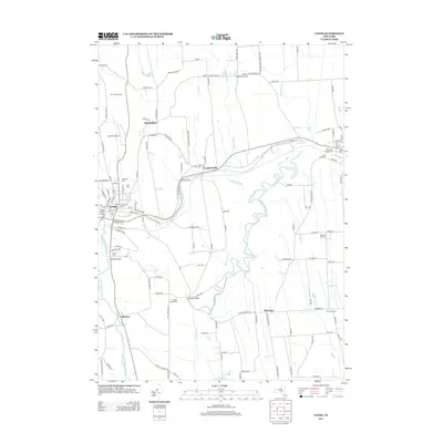
2013 Map of Lyons
USGS Topo · Published 2013About this map
The Clyde River and the Old Erie Canal define the landscape of this Wayne County corridor, where the historic path of New York’s primary waterway is still clearly visible alongside its modern successor, the Erie Canal. At the center of this network, the village of Lyons serves as a focal point for researchers, showing the complex intersection of rail and water transport. To the east, Lock Berlin stands as a clear reference to the canal's engineering heritage, while smaller hamlets like Alloway and Pilgrimport mark the agricultural hinterlands. The map is particularly dense with genealogical sites, including the Old Clyde Village Cem and Saint Johns Cem. This survey illustrates how the region’s development remained tethered to the banks of the Canandaigua Outlet and the legacy of the canal system into the early 21st century.
Find a feature on this map
128 named features on this map. Tap any name to fly to it.
Don’t see what you’re looking for? This feature index may not catch every label — zoom into the map to look around manually.
Map Details
Editions of this 2013 Lyons Map
This is the sole edition of this map. No revisions or reprints were ever made.
Other maps of this area

1899 · Palmyra
USGS Topo · 1:62,500

1902 · Geneva
USGS Topo · 1:62,500

1902 · Clyde
USGS Topo · 1:62,500

1902 · Phelps
USGS Topo · 1:62,500

1902 · Palmyra
USGS Topo · 1:62,500

1943 · Lyons
USGS Topo · 1:31,680

1943 · Geneva North
USGS Topo · 1:31,680

1943 · Phelps
USGS Topo · 1:31,680

1943 · Savannah
USGS Topo · 1:31,680

1943 · Sodus
USGS Topo · 1:31,680