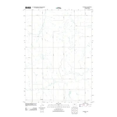
2012 Map of Lyonville
USGS Topo · Published 2012About this map
Lyonville anchors this part of Buffalo County, situated in a prairie landscape defined by a complex network of seasonal drainages and small water bodies. The terrain is marked by the meandering paths of Smith Cr and Crow Cr, which cut through the township grid. A distinctive cluster of small, unnamed basins and wetlands characterizes the central and eastern portions of the map, illustrating the high-plains hydrology of the region. Jones Lake stands out as a primary permanent water feature in the southeastern quadrant. The survey detail highlights a strictly organized section line road system, including 242nd St and 361st Ave, which facilitates the agricultural operations of this rural South Dakota community.
Find a feature on this map
19 named features on this map. Tap any name to fly to it.
Don’t see what you’re looking for? This feature index may not catch every label — zoom into the map to look around manually.
Map Details
Editions of this 2012 Lyonville Map
This is the sole edition of this map. No revisions or reprints were ever made.
Other maps of this area

1941 · Pukwana
USGS Topo · 1:62,500

1941 · Kimball North
USGS Topo · 1:62,500

1951 · Pukwana
USGS Topo · 1:62,500

1951 · Kimball North
USGS Topo · 1:62,500

1953 · Huron
USGS Topo · 1:250,000

1954 · Huron
USGS Topo · 1:250,000

1955 · Mitchell
USGS Topo · 1:250,000

1959 · Mitchell
USGS Topo · 1:250,000

1973 · Big Bend Dam 4 SE
USGS Topo · 1:24,000

1973 · Gannvalley
USGS Topo · 1:24,000