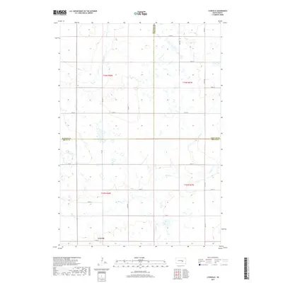
2017 Map of Lyonville
USGS Topo · Published 2017About this map
Lyonville sits at the southern edge of this landscape where the boundaries of Buffalo, Brule, and Jerauld counties converge. The terrain is defined by the winding course of Crow Creek in the northwest and Smith Cr to the southeast, illustrating the natural drainage patterns of the Missouri Plateau. A series of section-line roads, such as 242nd St and 234th St, grid the prairie, reflecting the enduring legacy of the Public Land Survey System in organizing the rural South Dakota interior. Near the center of the quadrangle, Jones Lake provides a distinct hydrological marker amidst the vast agricultural tracts. This 2017 survey documents a sparsely populated region where the primary infrastructure consists of named rural routes like Prairie Ln, maintaining a settlement pattern that has remained largely consistent since the early twentieth century.
Find a feature on this map
21 named features on this map. Tap any name to fly to it.
Don’t see what you’re looking for? This feature index may not catch every label — zoom into the map to look around manually.
Map Details
Editions of this 2017 Lyonville Map
This is the sole edition of this map. No revisions or reprints were ever made.
Other maps of this area

1941 · Pukwana
USGS Topo · 1:62,500

1941 · Kimball North
USGS Topo · 1:62,500

1951 · Pukwana
USGS Topo · 1:62,500

1951 · Kimball North
USGS Topo · 1:62,500

1953 · Huron
USGS Topo · 1:250,000

1954 · Huron
USGS Topo · 1:250,000

1955 · Mitchell
USGS Topo · 1:250,000

1959 · Mitchell
USGS Topo · 1:250,000

1973 · Big Bend Dam 4 SE
USGS Topo · 1:24,000

1973 · Gannvalley
USGS Topo · 1:24,000