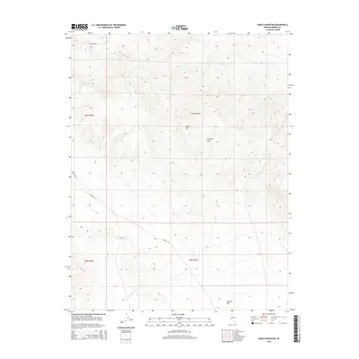
2014 Map of Mable Mountain
USGS Topo · Published 2014About this map
Mable Mtn rises above the high desert landscape of central Mineral County, serving as a prominent landmark within the Garfield Hills. This 2014 survey captures a topography defined by steep elevations and expansive drainage basins, typical of the Great Basin region. The presence of Garfield Reservoir Number Three provides a rare water-management feature in this arid environment, situated west of the sprawling Garfield Flat. Transportation through this isolated terrain is limited to utilitarian routes such as Garfield Rd and Powerline Rd, reflecting the modern infrastructure required to manage these remote public lands. The map detail highlights the intersection of Township and Range lines, including t7n r33e and t6n r32e, which are essential for precisely locating mining claims or land allotments in this part of Nevada.
Find a feature on this map
10 named features on this map. Tap any name to fly to it.
Don’t see what you’re looking for? This feature index may not catch every label — zoom into the map to look around manually.
Map Details
Editions of this 2014 Mable Mountain Map
This is the sole edition of this map. No revisions or reprints were ever made.
Other maps of this area

1909 · Hawthorne
USGS Topo · 1:250,000

1911 · Hawthorne
USGS Topo · 1:250,000

1915 · Hawthorne
USGS Topo · 1:250,000

1948 · Walker Lake
USGS Topo · 1:250,000

1957 · Walker Lake
USGS Topo · 1:250,000

1962 · Walker Lake
USGS Topo · 1:250,000

1964 · Walker Lake
USGS Topo · 1:250,000

1967 · Pamlico
USGS Topo · 1:24,000

1967 · Moho Mountain
USGS Topo · 1:24,000

1967 · Mina NW
USGS Topo · 1:24,000