
1967 Map of Mina NW
USGS Topo · Published 1969About this map
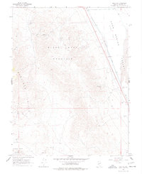
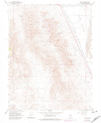
Black Dyke Mountain and the southern reaches of the Garfield Hills dominate this mid-century view of the Nevada desert. The landscape is defined by the sharp transition from high peaks down to the expansive Soda Spring Valley and Alkali Flat. Human presence is largely industrial and transient, focused on the extraction of minerals from the slopes of the mountains and the transport of materials across the basin. The Southern Pacific railroad cuts a straight line through the valley, providing a lifeline for the various mining operations located in the hills. Notable claims such as the Blue Ribbon Mine, Windup Mine, and Kay Mine are scattered across the high ground, while several Gravel Pits operate near the rail line and the established Jeep Trails. To the east, shifting Sand Dunes encroach upon the valley floor, highlighting the dynamic nature of this arid environment.
Find a feature on this map
15 named features on this map. Tap any name to fly to it.
Don’t see what you’re looking for? This feature index may not catch every label — zoom into the map to look around manually.
Map Details
Editions of this 1967 Mina NW Map
3 editions found
Other maps of this area

1909 · Hawthorne
USGS Topo · 1:250,000

1911 · Hawthorne
USGS Topo · 1:250,000

1915 · Hawthorne
USGS Topo · 1:250,000

1948 · Walker Lake
USGS Topo · 1:250,000

1957 · Walker Lake
USGS Topo · 1:250,000

1962 · Walker Lake
USGS Topo · 1:250,000

1964 · Walker Lake
USGS Topo · 1:250,000

1967 · Moho Mountain
USGS Topo · 1:24,000
1967 · Sodaville
USGS Topo · 1:24,000
1967 · Camp Douglas
USGS Topo · 1:24,000